Tag Archives: National Road

Nemacolin’s Trail

The Old National Road is the gift that keeps on giving. This summer, Al and I realized that we’d given the Maryland section of the road short shrift, and we decided to return and do it justice.
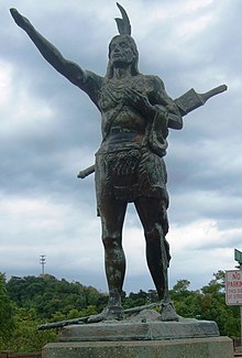
Nemacolin

The section of National Road between Cumberland, MD, and Brownsville, PA, is also called Nemacolin’s Path or Nemacolin’s Trail. I was especially curious about Nemacolin’s contribution, because of my recent interest in the original natives of our area.

Nemacolin, of course, also has a very swanky resort in the Laurel Highlands named after him. He was born in 1715 near Brandywine Creek and a Swedish trading post that later became Fort Christina and, still later, Wilmington, Delaware.

His father was is variously named as either Checochinican or Leni Lenape, a chief of the Fish Clan of the Turtle tribe of the Delaware/Lenape nation.

The Delaware nation originally lived along the Delaware River in New Jersey. They spoke a form of Algonquin and were related to the Miami, Ottawa and Shawnee. The other Algonquin tribes called them “grandfathers” because they believed the Delaware were the most ancient Algonquin tribe. The tribe had moved west as the British encroached on New Jersey and Delaware.

By treaty with William Penn in 1726, the tribe ceded their land on both sides of the Brandywine. Thus, Nemacolin grew up near Shamokin, PA, in a village along the Susquehanna River. The Indians called Shamokin “Schahamokink” (“place of eels”). An Indian tribe called the Saponi had already settled there. The came from North Carolina or Virginia and spoke a Siouan language. Their name may have come from the Siouan word for black: “sapa”. Or it may have come from the name of a female goddess of their religion, Sepy. In the seventeenth century the English explorer John Lederer described them as “governed by an absolute Monarch; the People of a high stature, warlike and rich.”

Nemacolin and the National Road

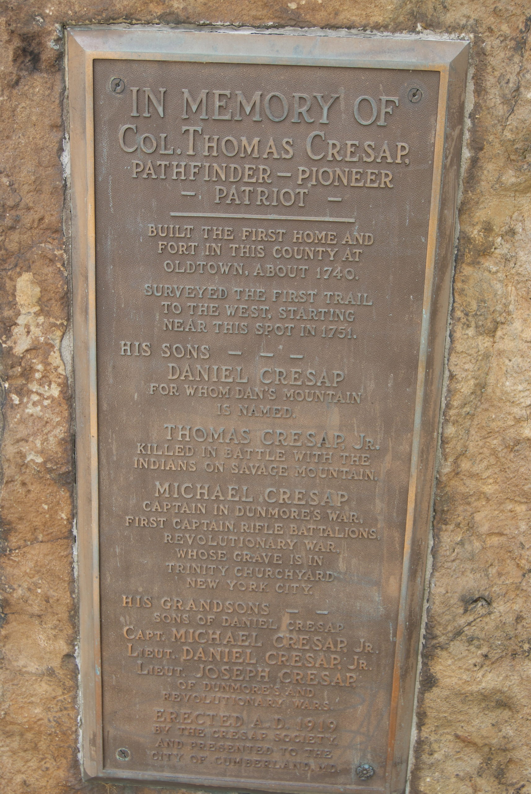
Nemacolin and his family later moved south and west and lived for a while with the Cresap family. Thomas Cresap was born in 1702 in Skipton, Yorkshire. He later settled as a farmer and trader near Wills Creek in present-day Cumberland.

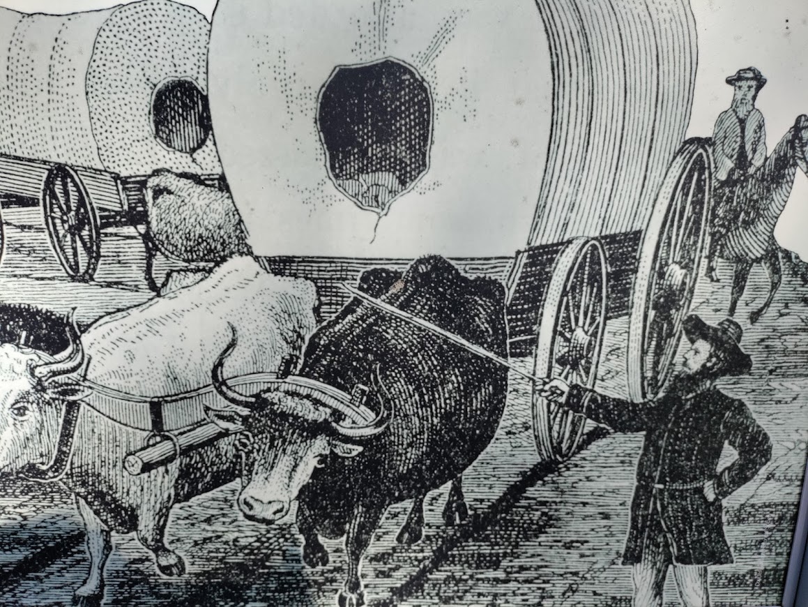
In 1750, Cresap was commissioned to improve the old Indian path through the Cumberland Narrows, across the Appalachian Mountains.

Cresap hired his friend Nemacolin and Nemacolin’s two sons to help with the stretch between Wills Creek and Redstone Creek (present-day Brownsville, PA). Christopher Gist oversaw their work, which crossed harsh, mountainous terrain.

Later during the French & Indian War, Gist led George Washington along the trail, which became part Braddock’s Trail, then Forbes Trail, and finally the National Road.  

Nemacolin lived to see the British increasingly encroach on his tribe’s land. The treaty of Easton in 1758 compelled the Delaware to move to the Ohio Territory. There, they fought with the Iroquois and were driven further west. Many lived along the Muskingum River in eastern Ohio, or along the Auglize River in the northwestern part of the state. Similar to Guyasuta’s Mingo, the Delaware tried to stay neutral in the American Revolution.

After the Revolution, the Delaware struggled against more white encroachment in the Ohio territory. They were part of the force defeated by General Anthony Wayne at the Battle of Fallen Timbers. They lost most of their land in the Treaty of Greenville in 1795, and the rest in 1829. Finally, they moved west of the Mississippi River.

Nemacolin eventually moved his tribe to a Shawnee town on Blennerhassett Island in the Ohio River. The island sits on a stretch of the river between West Virginia and Ohio, along Route 50. Nemacolin died there in 1767.

Our Drive Along Nemacolin’s Trail: Cumberland

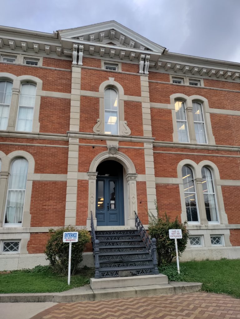
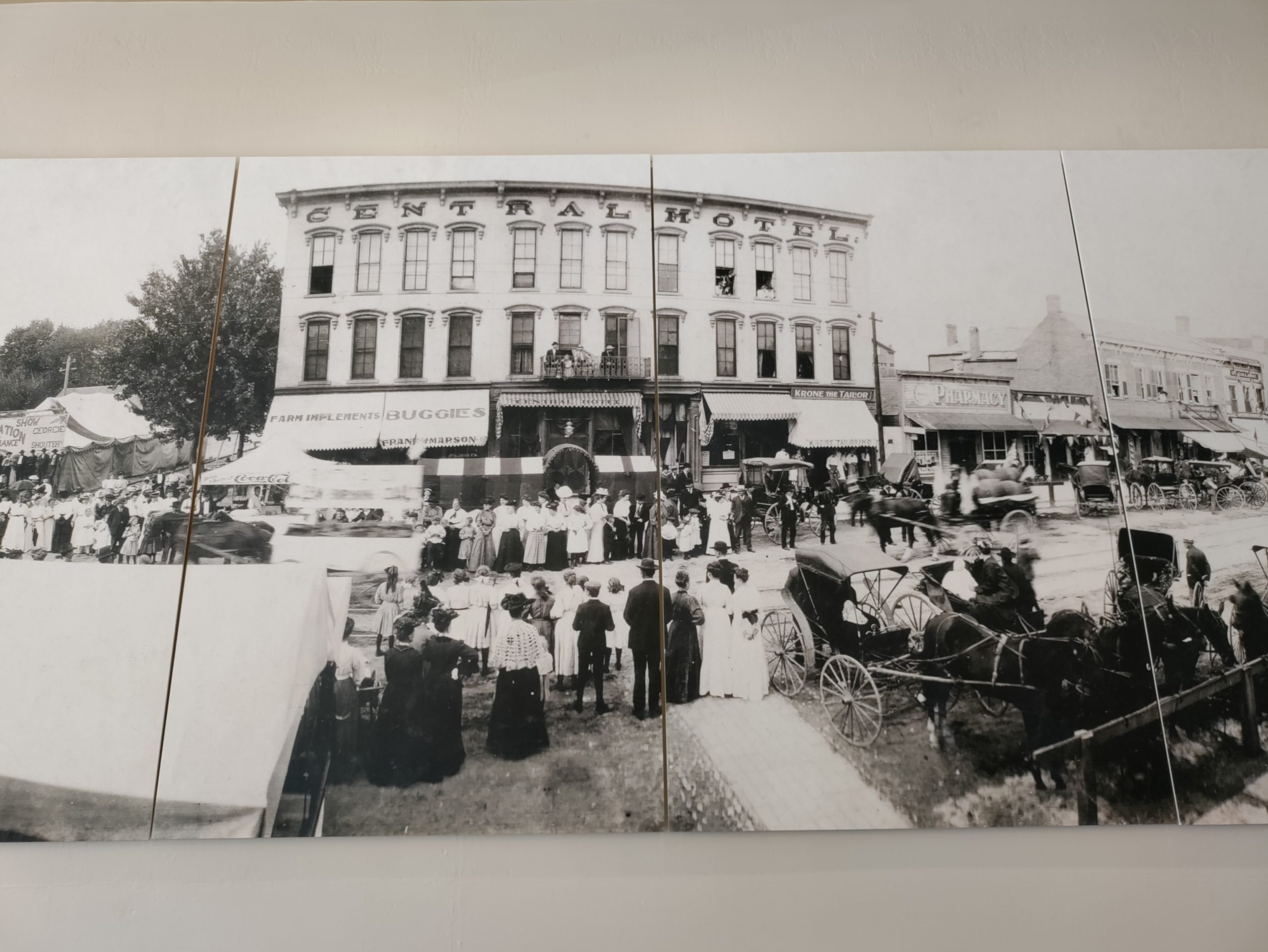
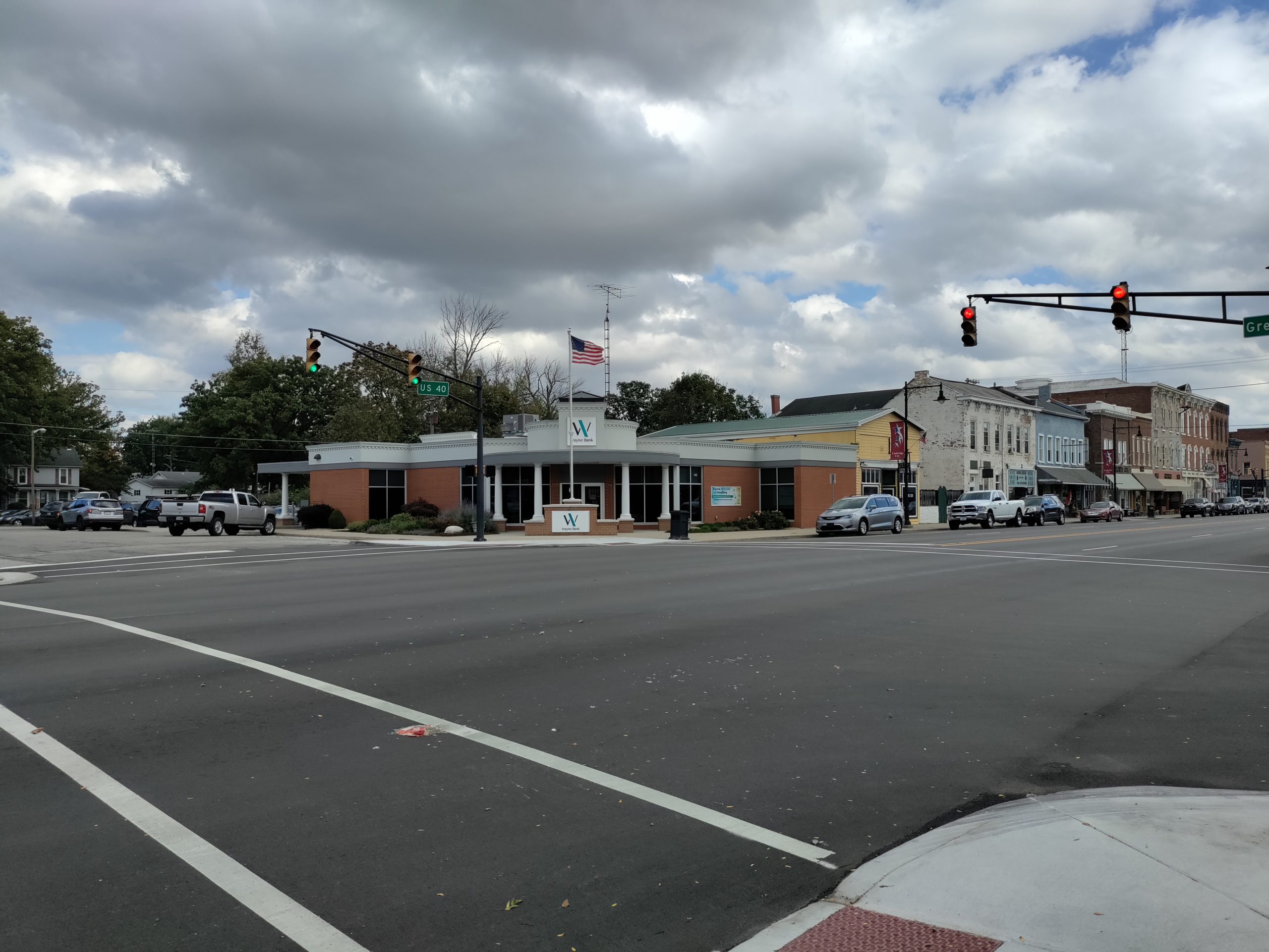
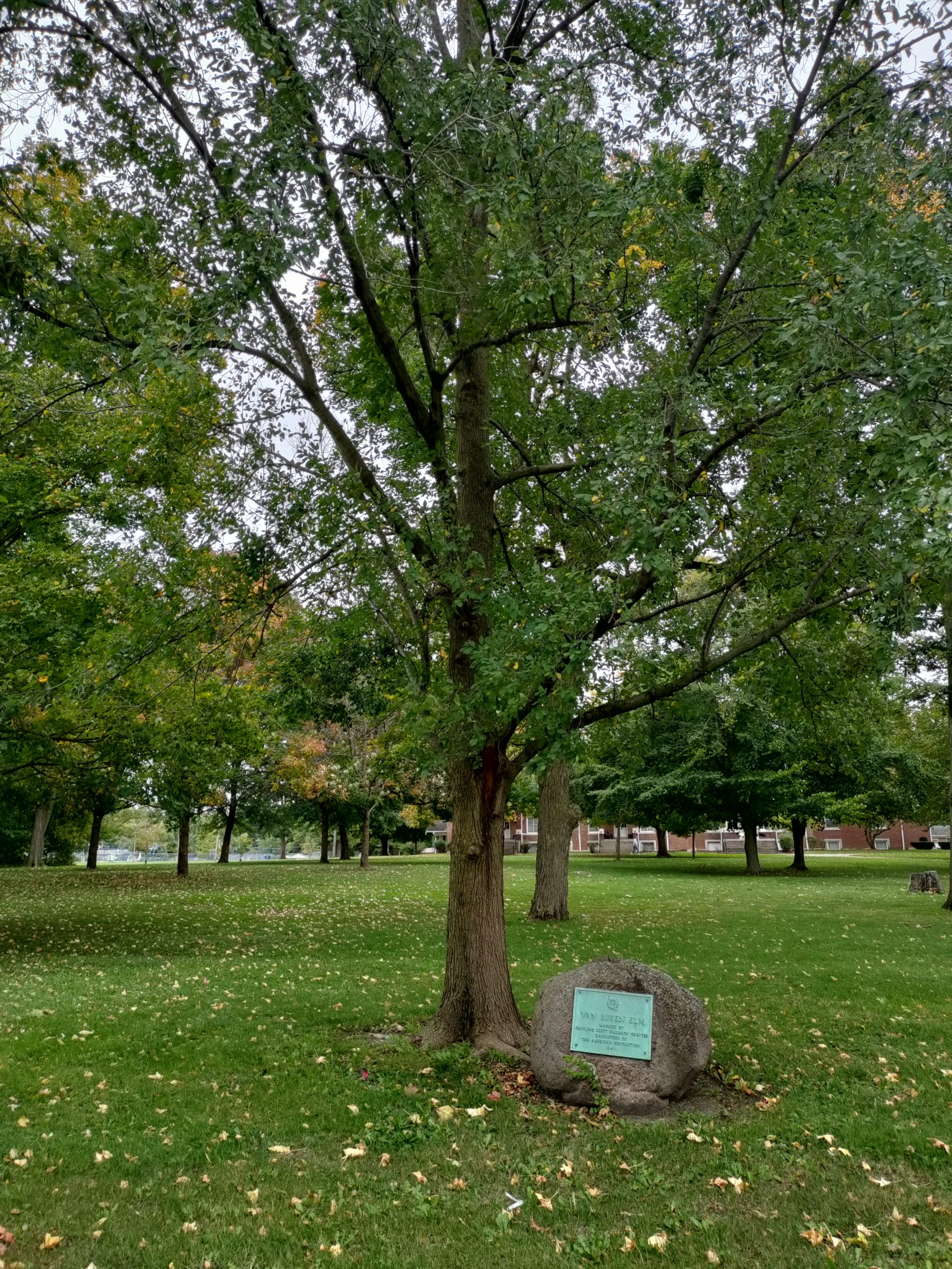
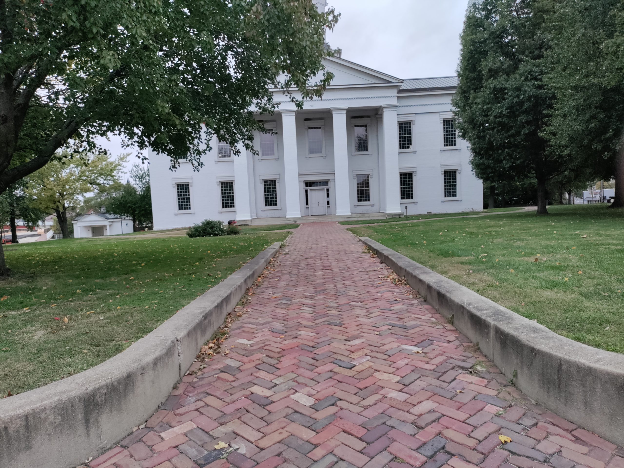
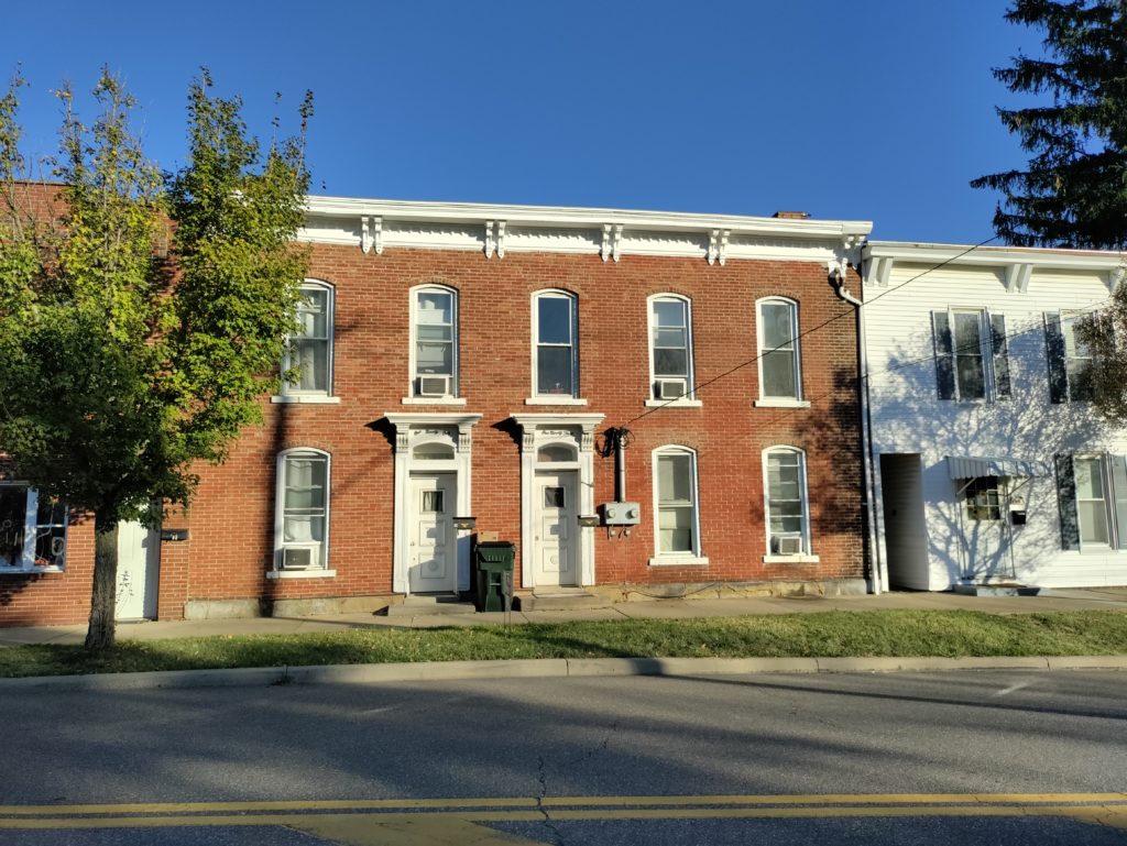
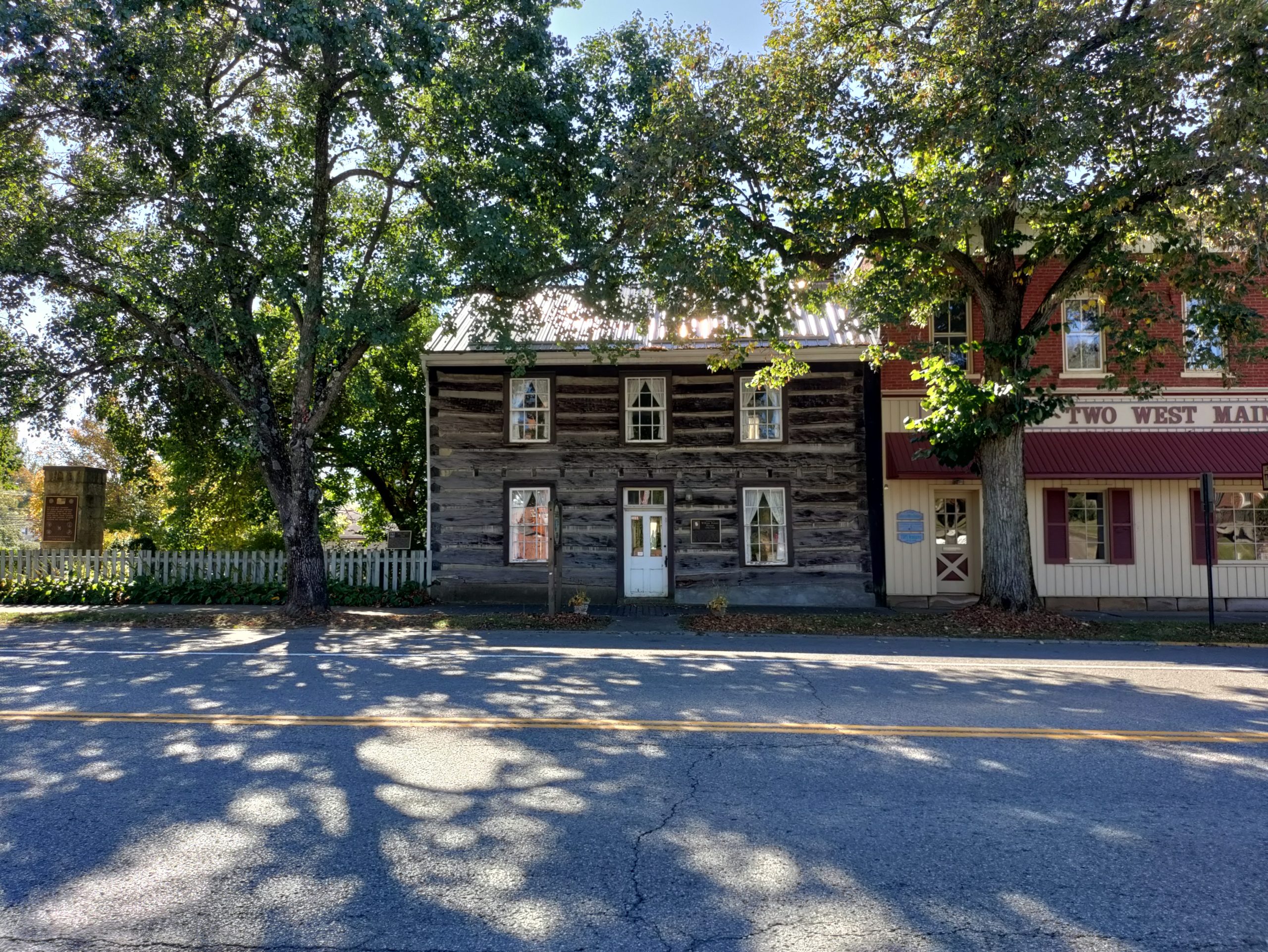
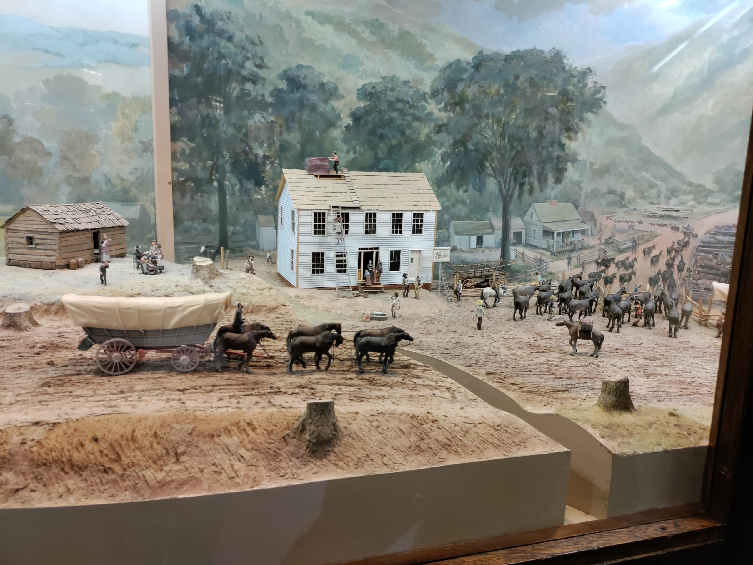
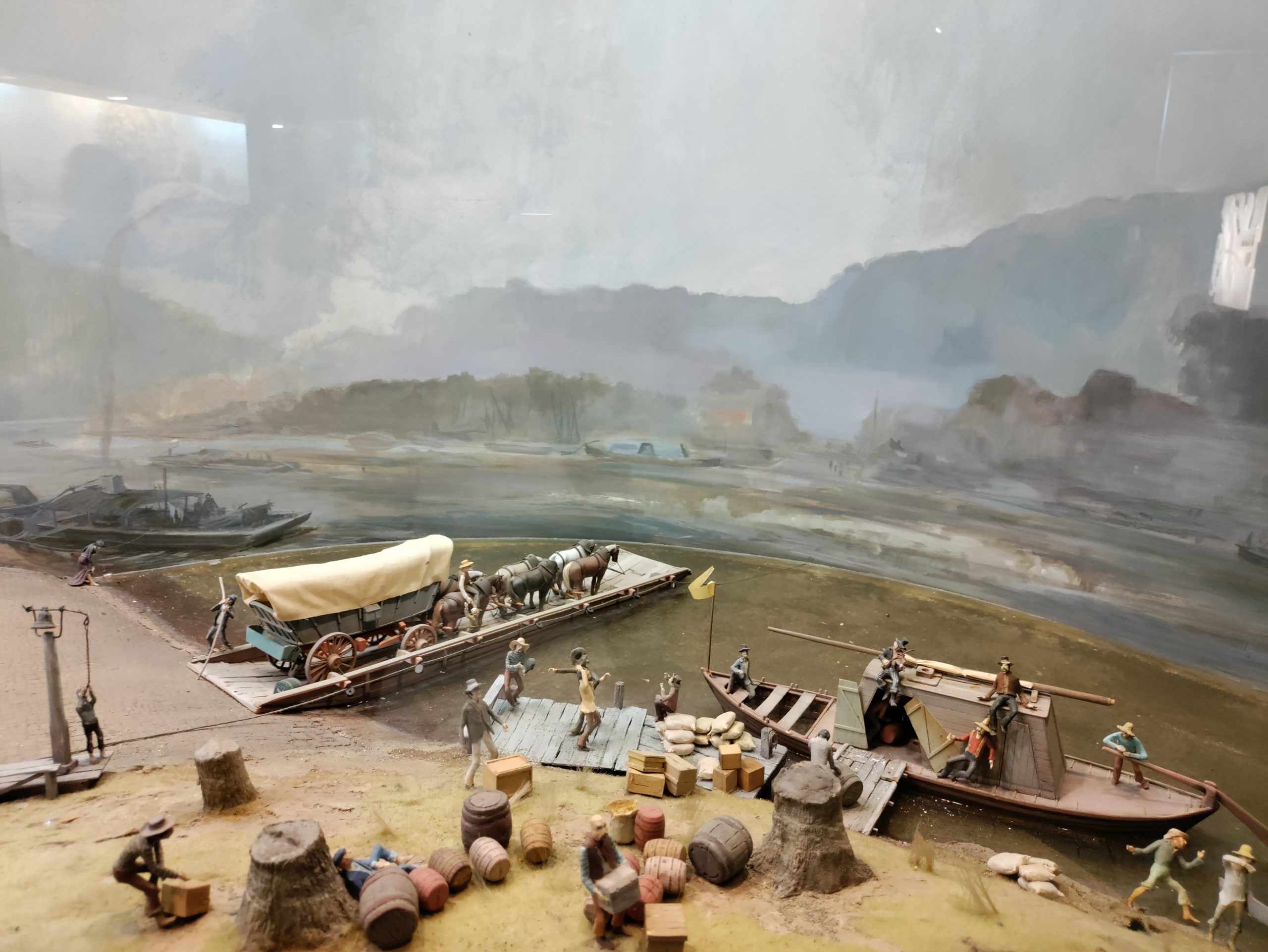
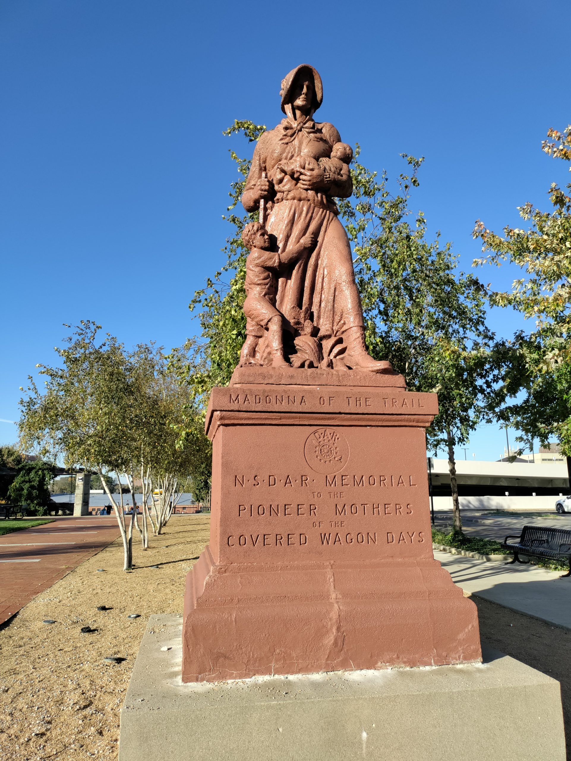
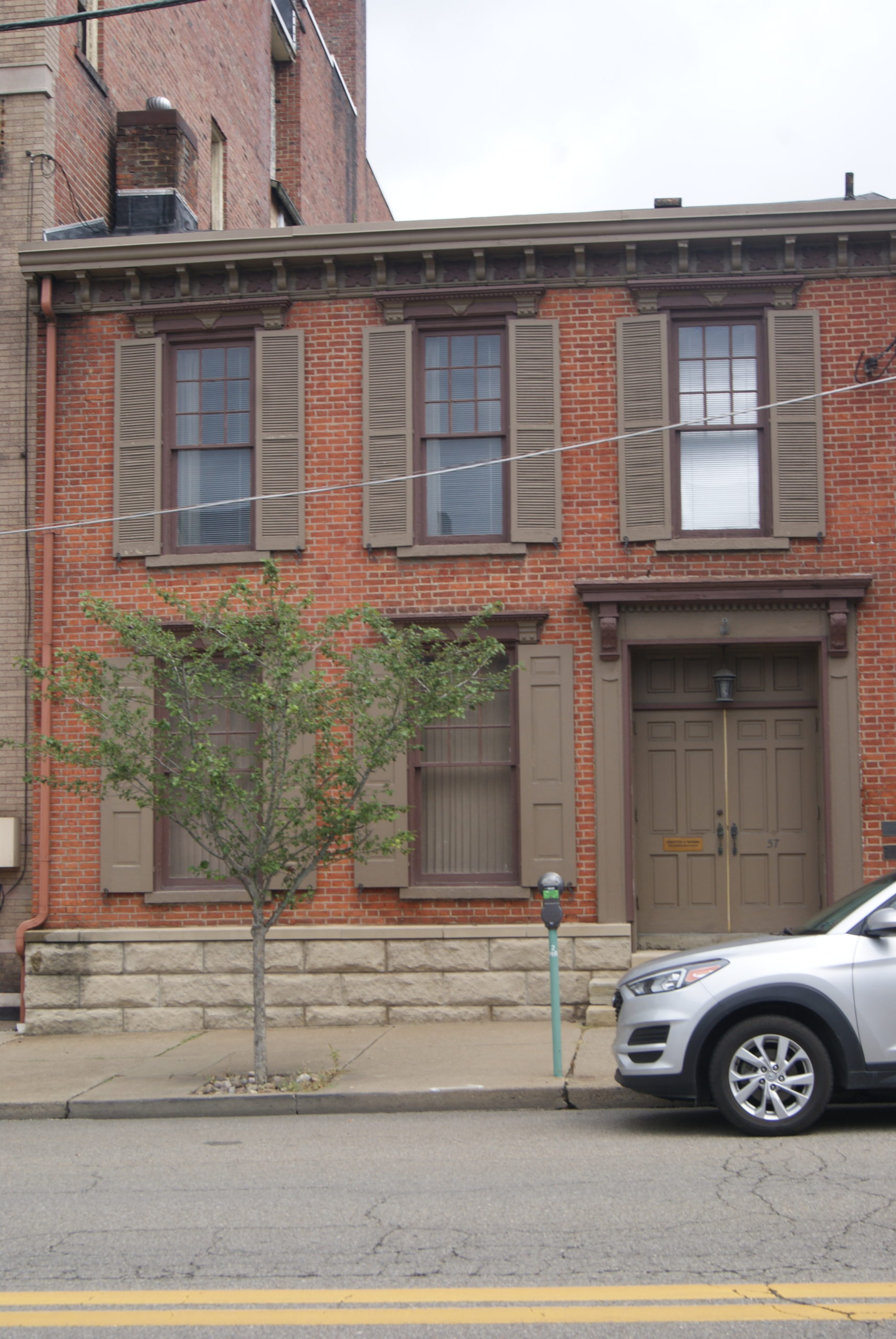
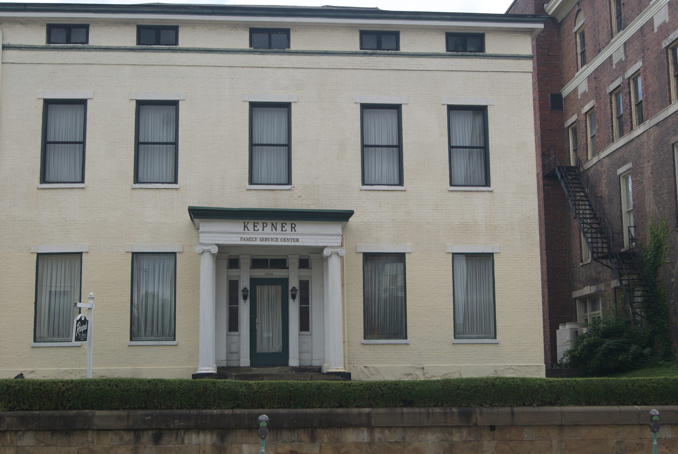
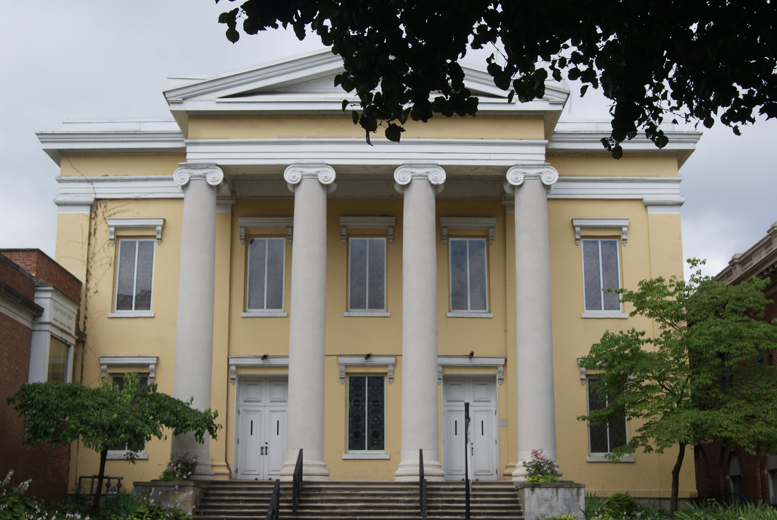
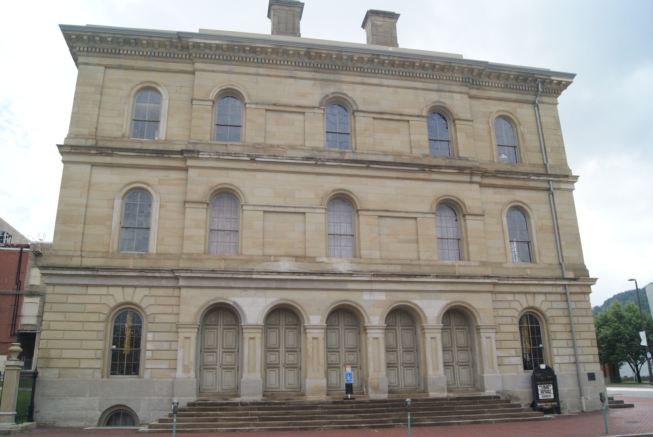
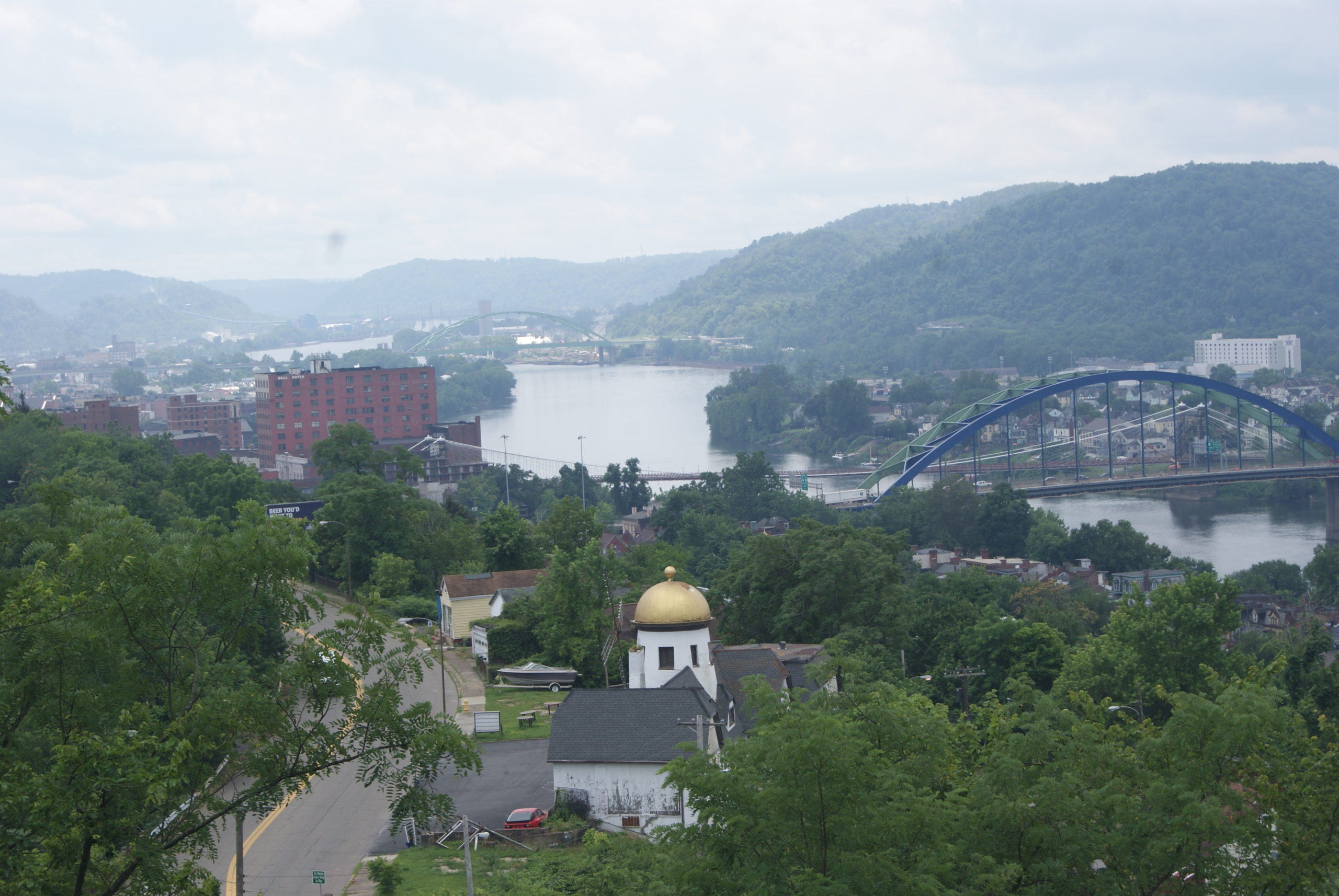
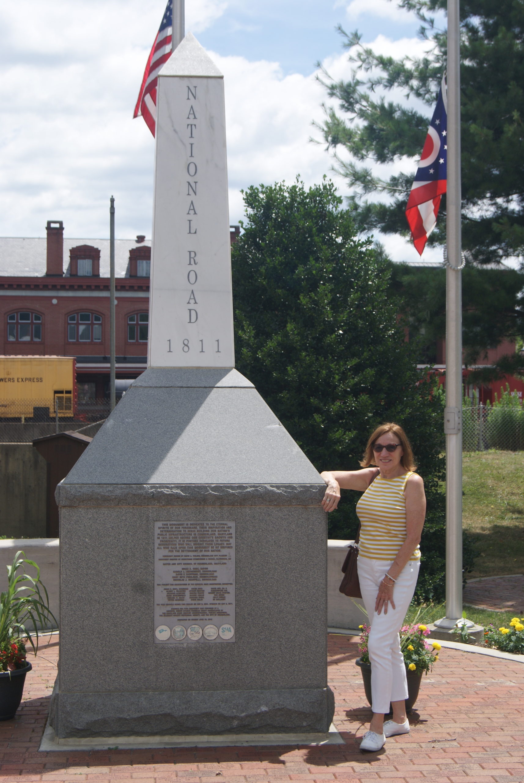
We began at the official start of the road in Cumberland. Cumberland, Maryland, is a small, pretty city with lots of nineteenth-century architecture and much of historical interest. The people there are very friendly and helpful. When we had trouble locating the site of the National Road’s start, we stopped at a museum to see if we could find information there. The museum was closed, but the County Comptroller’s Office next door was open. The clerk there directed us to the railroad station across the street and told us we could leave our car parked in her office’s free parking lot. At the railroad station, we met a very knowledgeable local who took the time to point us to abundant historical resources. Again and again in our travels, we find people who love their hometowns and are eager to share them.

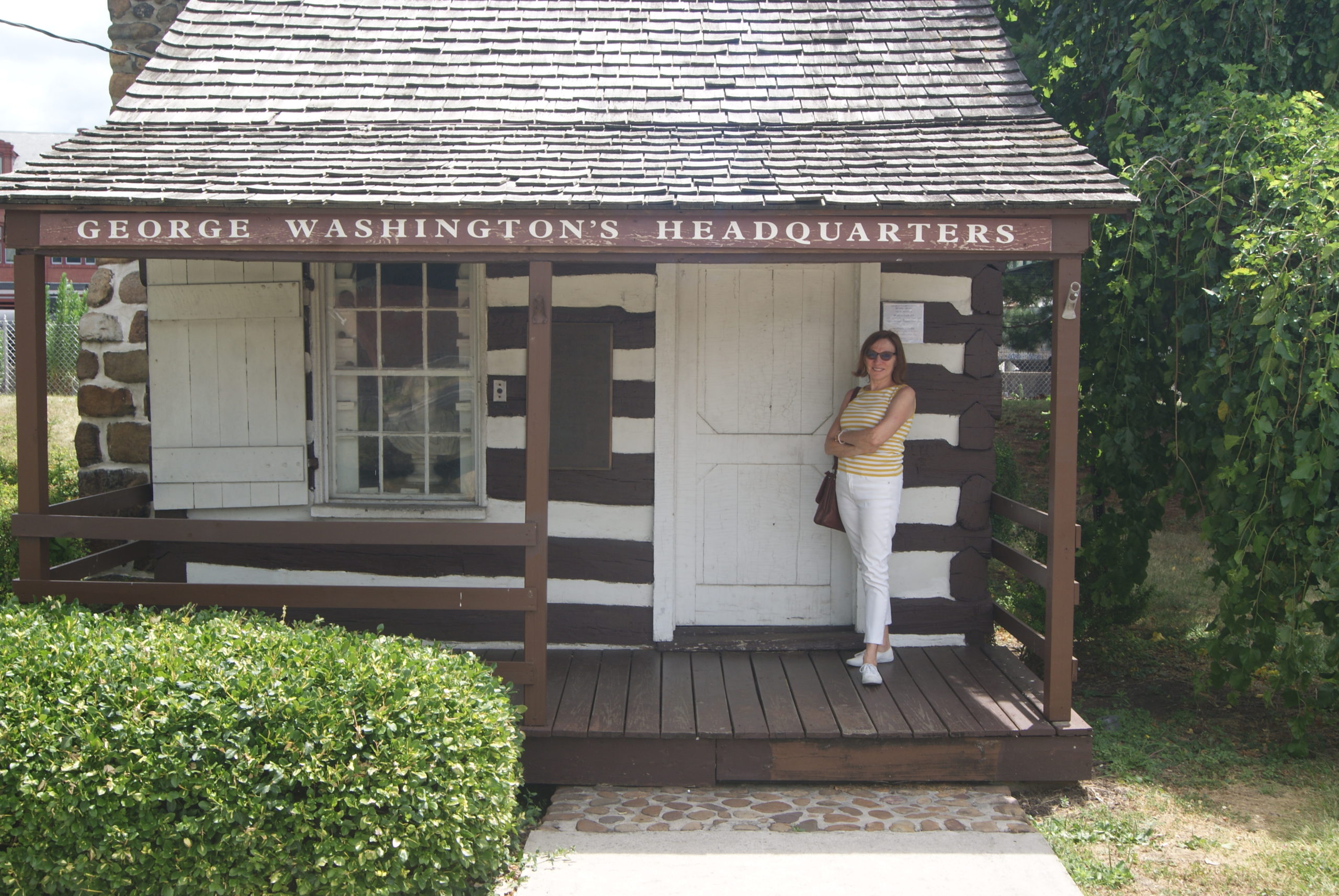
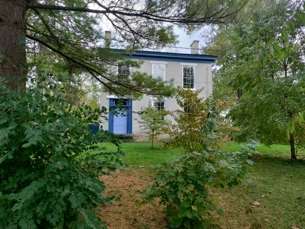
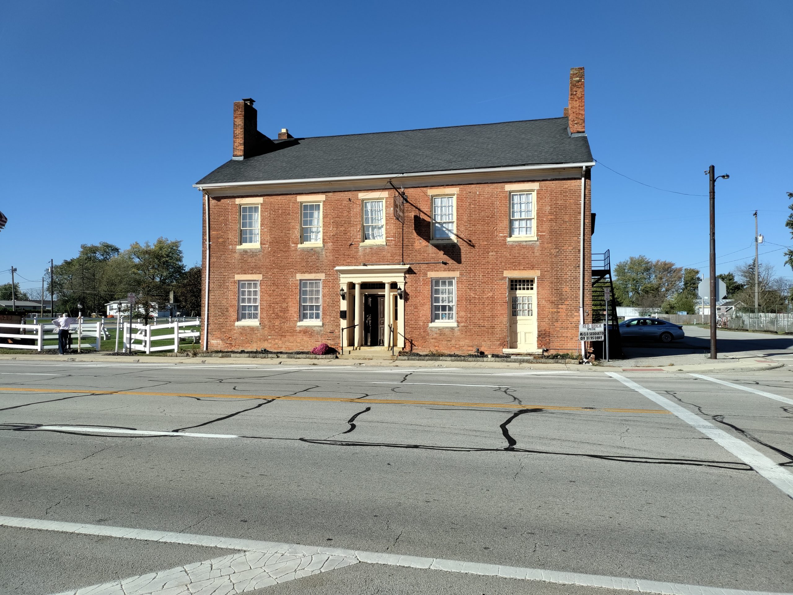
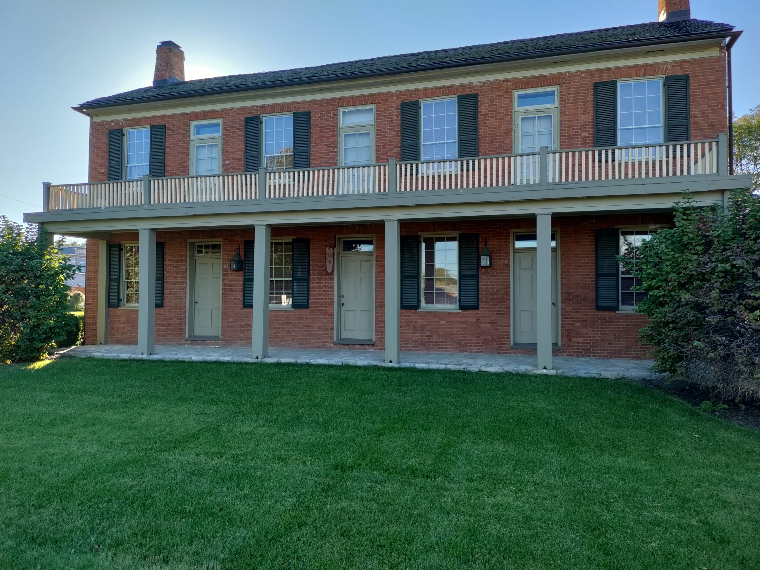
In addition to the starting point of the National Pike, Cumberland was home to George Washington’s headquarters during the French & Indian War. The building still stands.

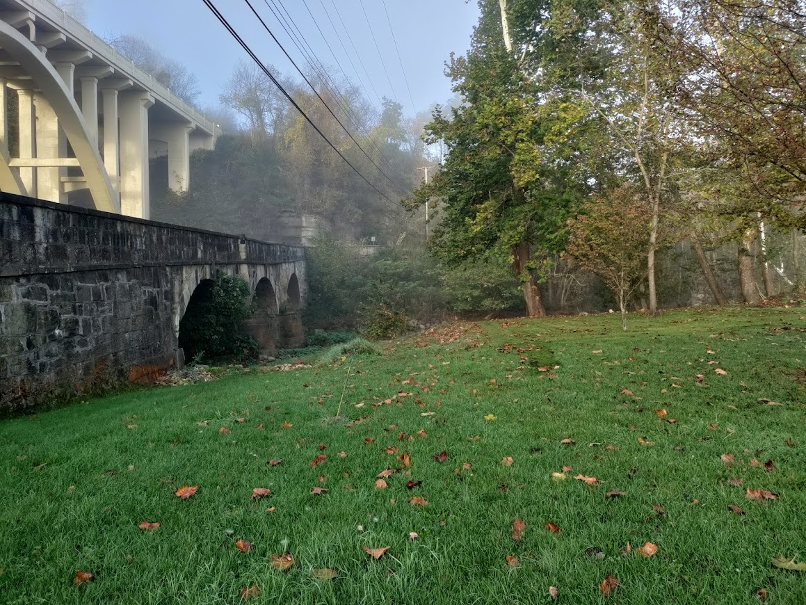
The town is also home to both the old C&O Canal and several Civil War sites. We vowed to return and explore those at a future date.

Our Drive Along Nemacolin’s Trail: LaVale Tollhouse and Casselman Bridge

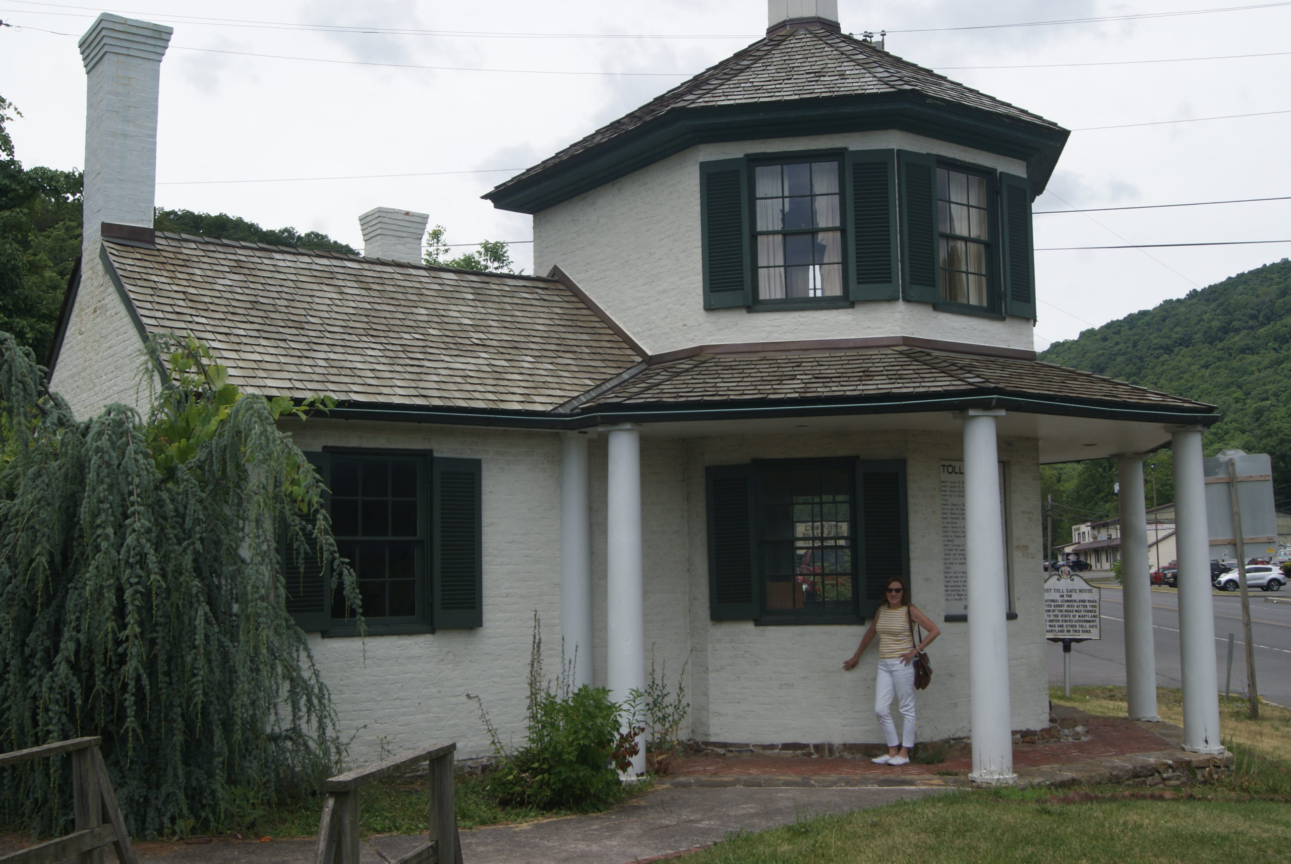
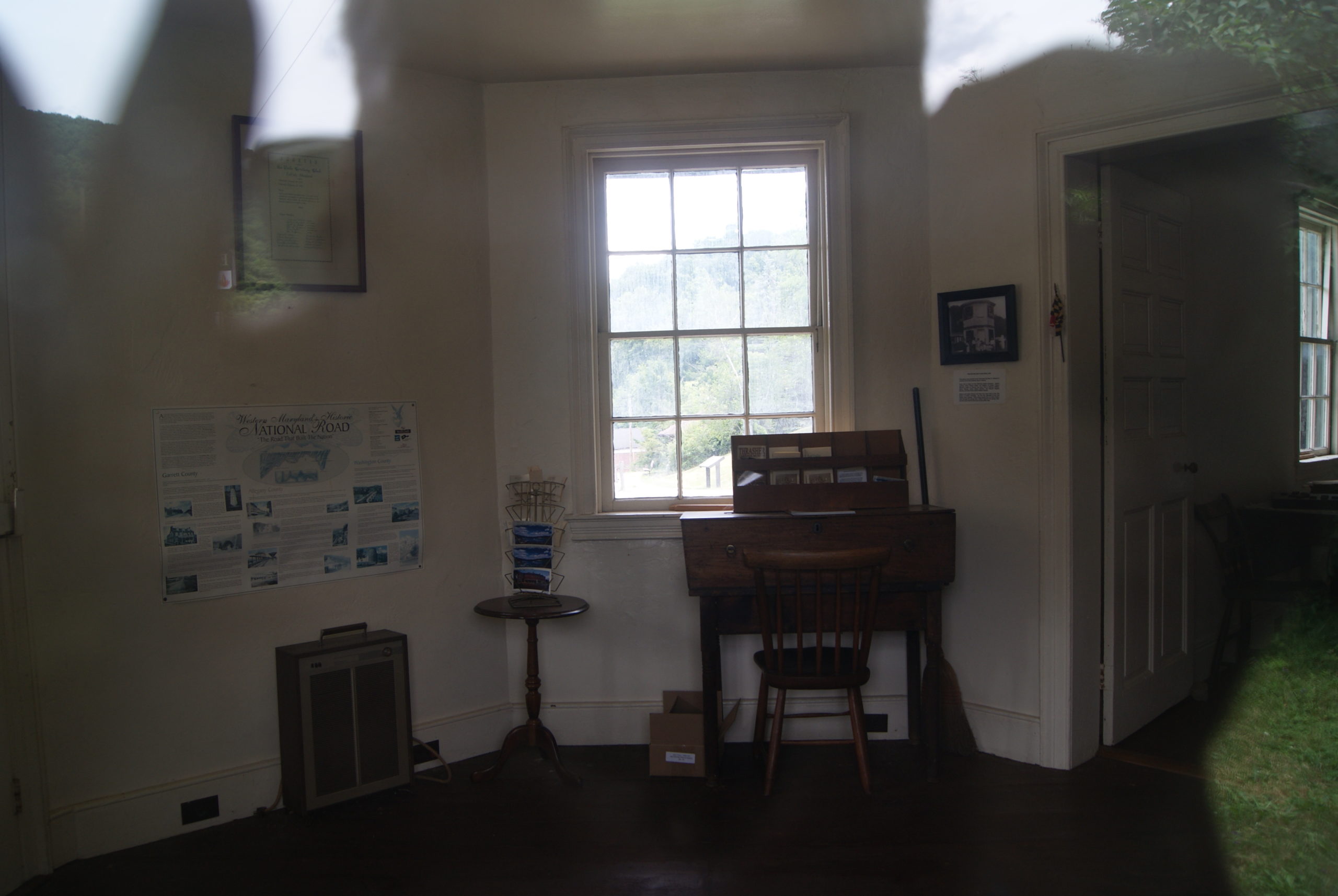
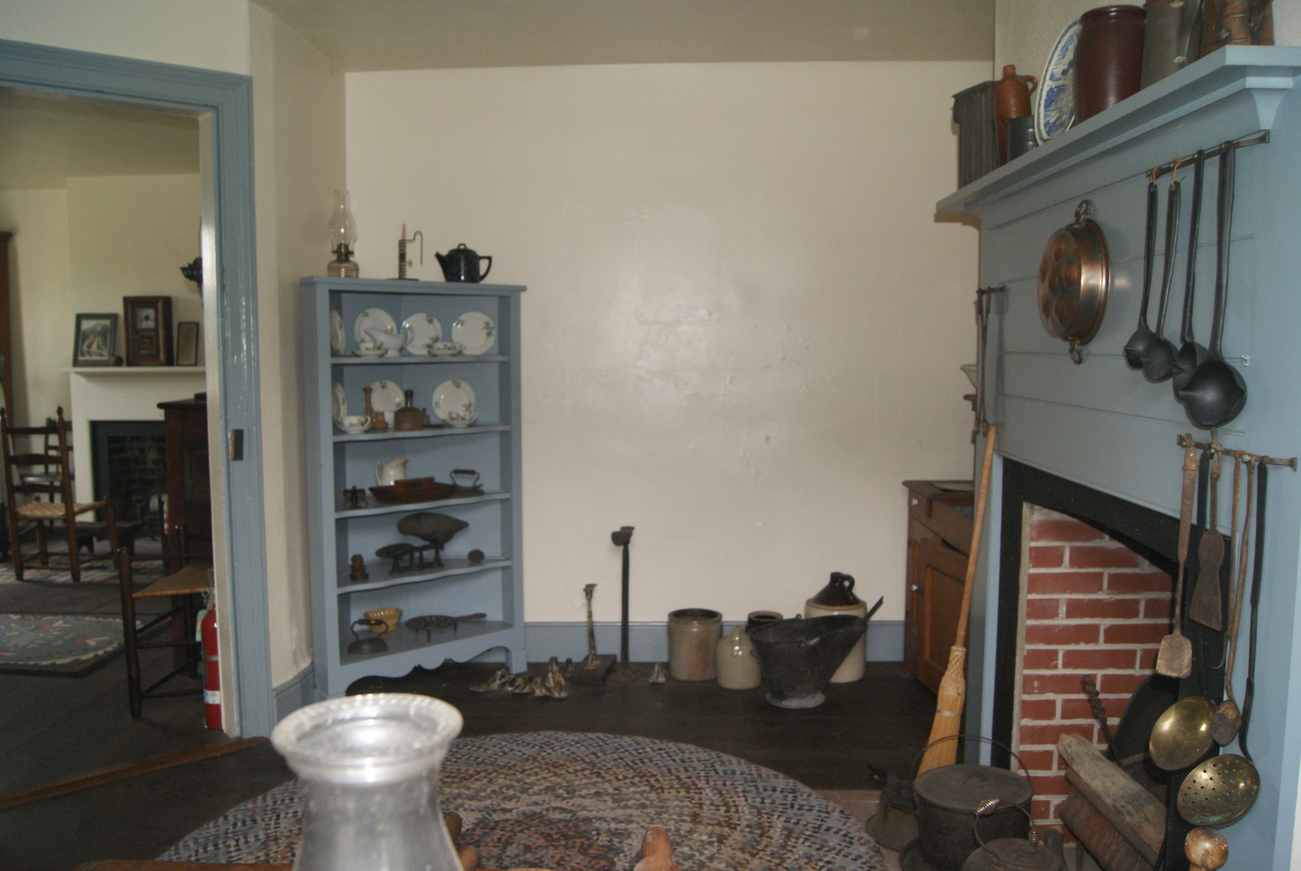
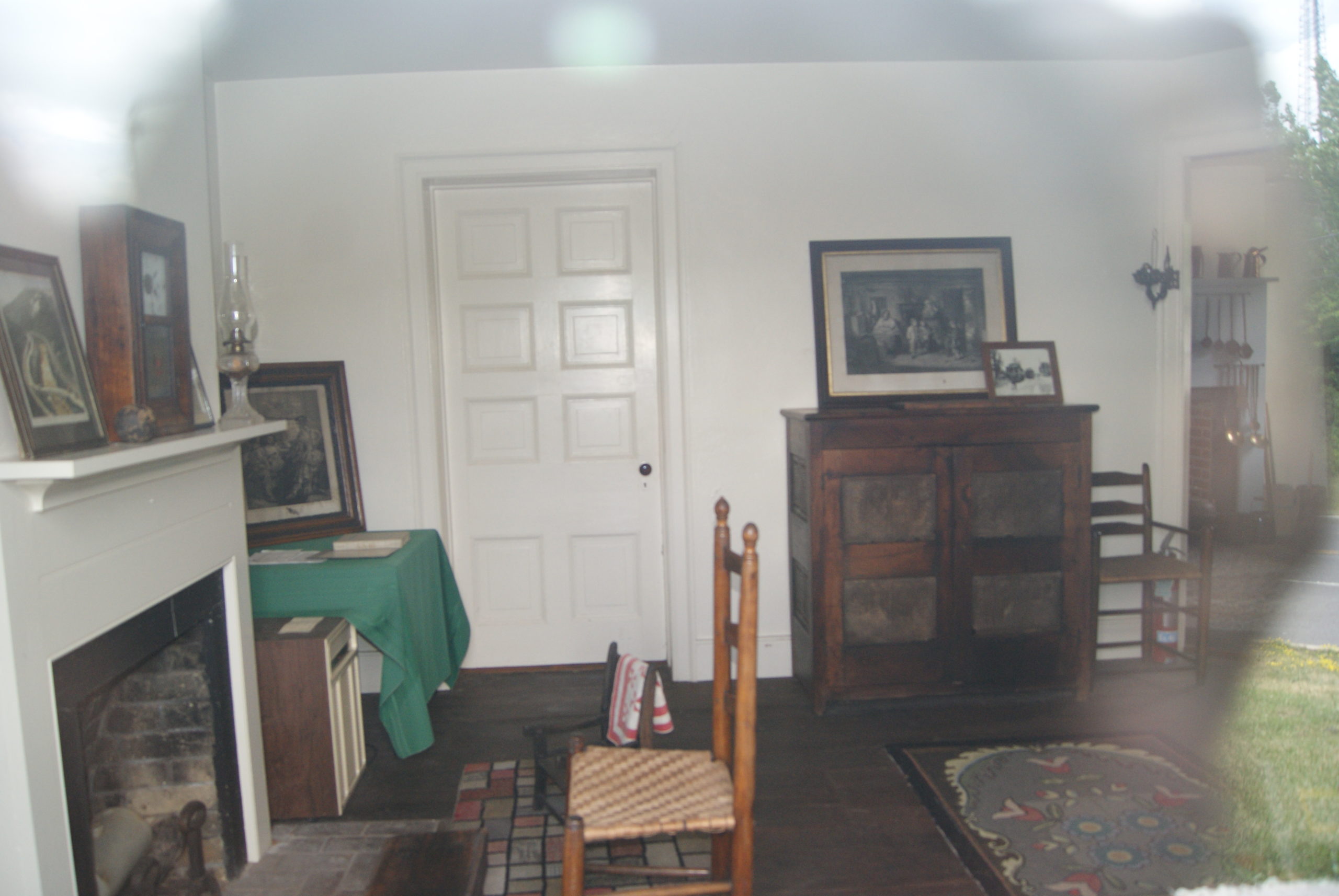
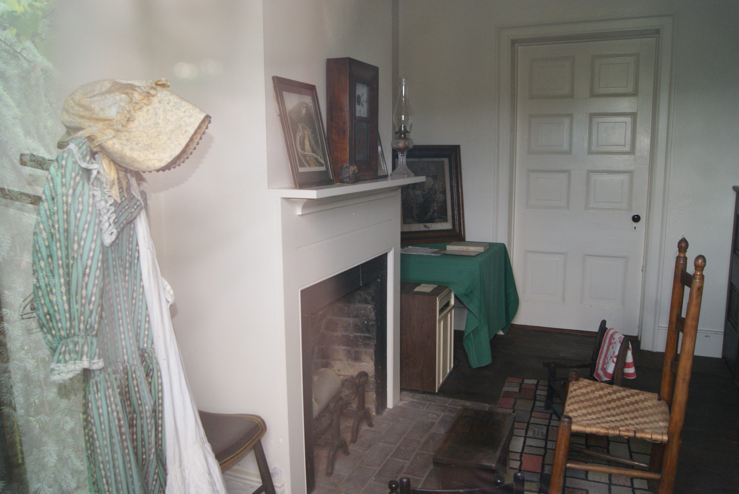
Along the drive to from Cumberland to Brownsville, we also explored another toll house, the LaVale Tollhouse. It looked very much like the ones we’d seen last year. But each toll house is different in what it provides. This one had a very nicely reproduced interior (see photos below). And we learned that the toll collectors were paid $200 per year, in addition to their free lodging in the toll house. The collectors had to be alert, because many people tried to avoid paying the toll. We learned, too, that the LaVale Tollhouse collected almost $10,000 in tolls in its first year of operation.

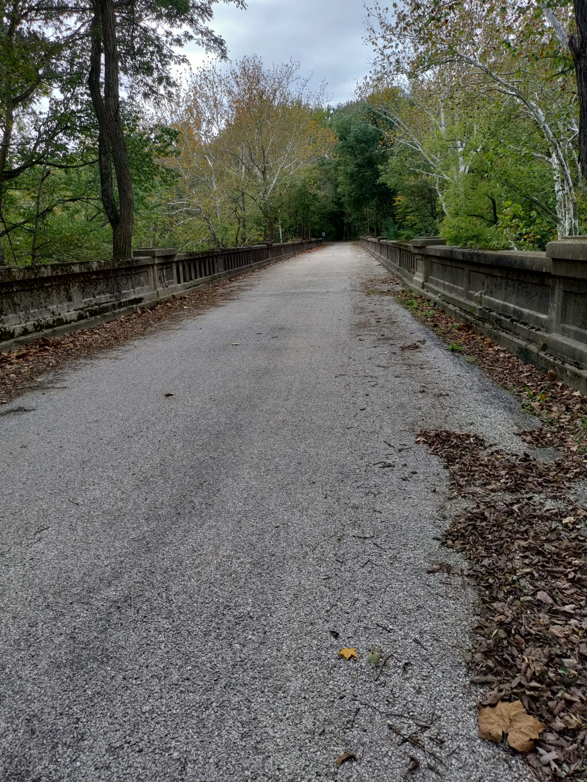
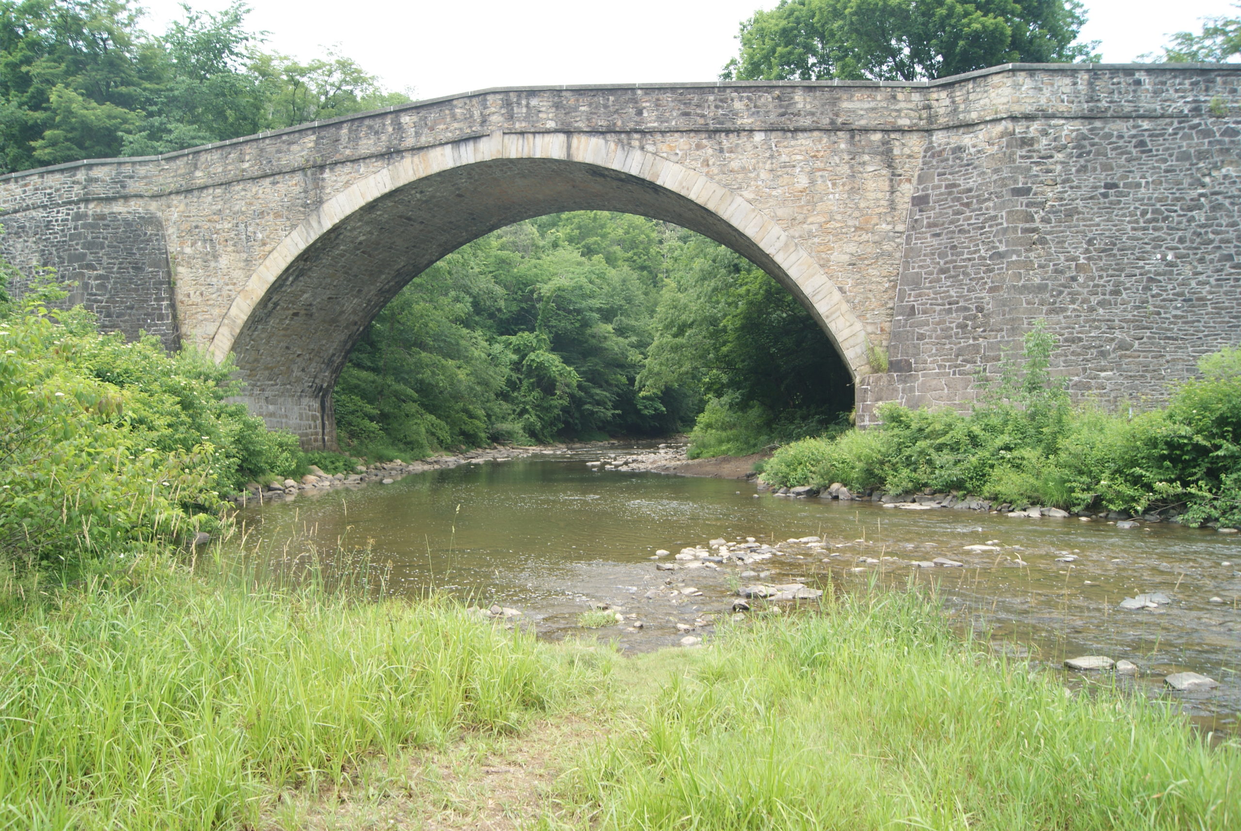
We also discovered the magnificent Casselman River Bridge, now surrounded by a pretty Maryland state park. This stone arch bridge, dating to 1813, remained in use until the rerouting of Route 40 in 1933. When it was constructed, it was the largest single-span stone arch bridge in the United States. Presidents James Monroe, Andrew Jackson, William Henry Harrison, James Polk, Zachary Taylor, and Abraham Lincoln all crossed this massive, well-maintained stone bridge.

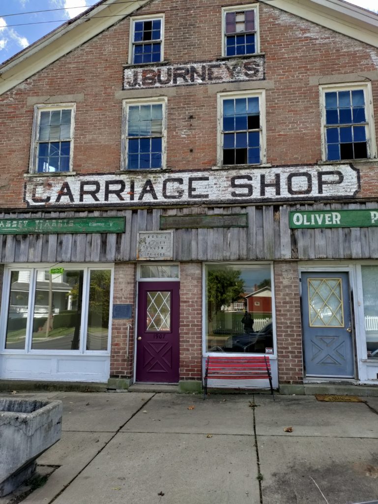
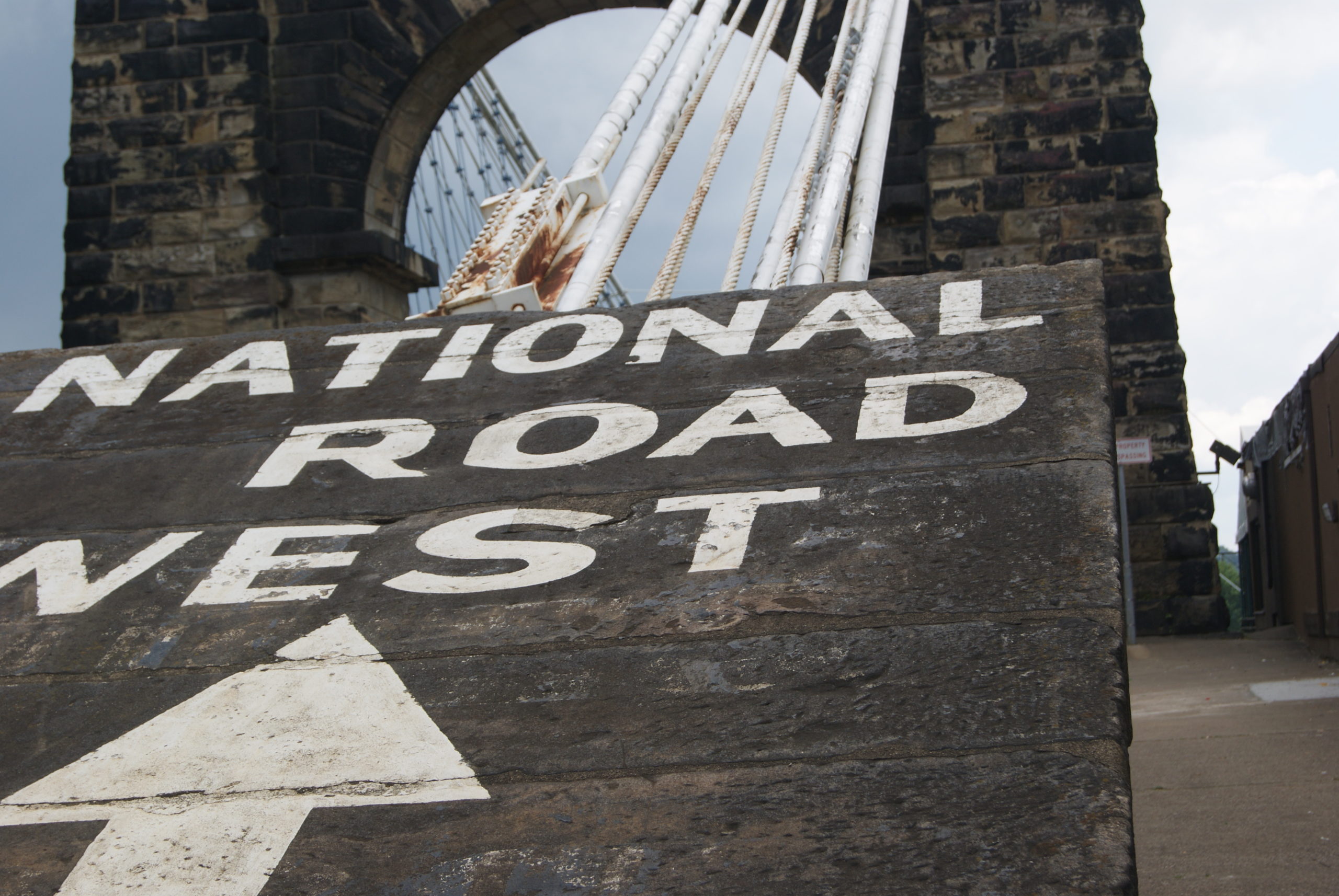
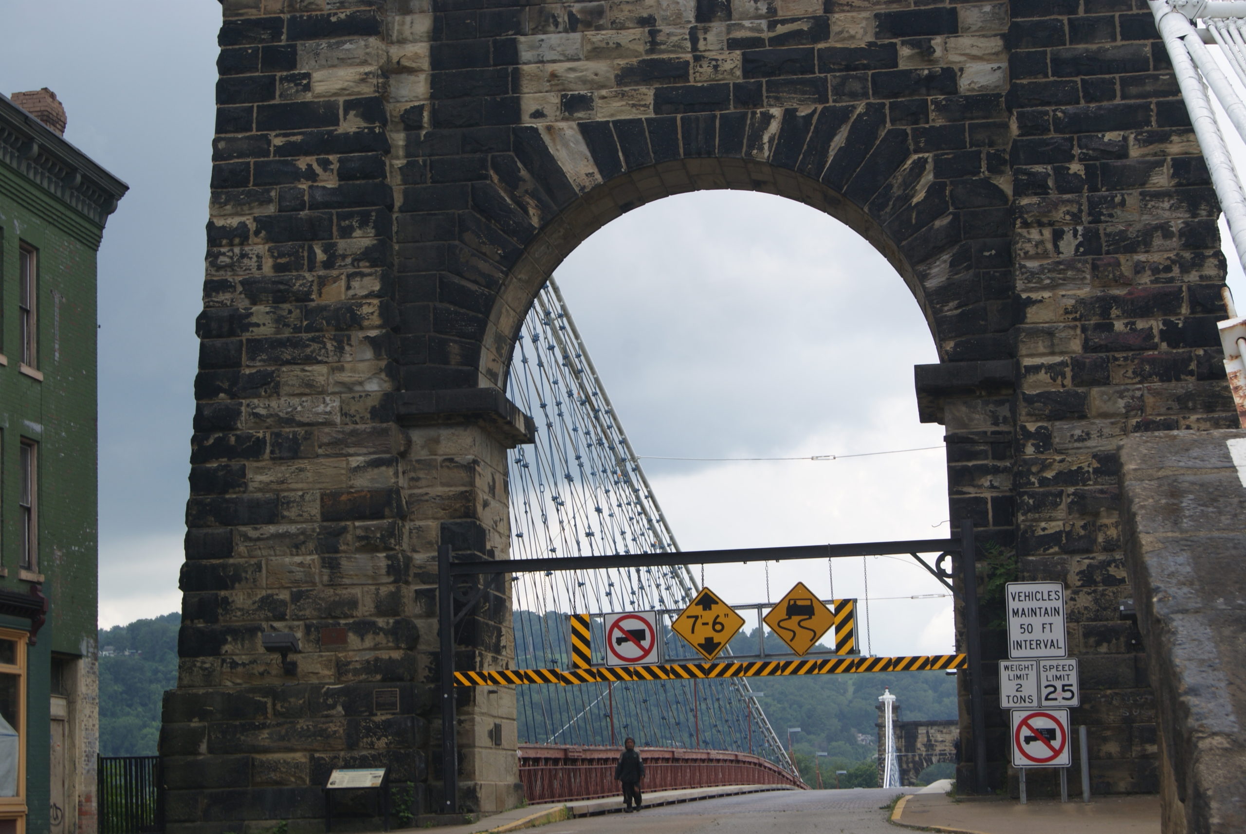
Nemacolin’s Trail ends at Brownsville, which we had visited last year. The improvements to this old Indian Trail between Wills Creek and Redstone Creek mark the true birth of the National Road, sixty years before its official start.

Sources

https://en.wikipedia.org/wiki/Nemacolin

https://en.wikipedia.org/wiki/Nemacolin%27s_Path

https://en.wikipedia.org/wiki/Shamokin,_Pennsylvania

https://www.ancestry.com/genealogy/records/nemacolin-native-american-24-2z6gyhz

https://www.ancestry.com/genealogy/records/nemacolin-native-american-24-2z6gyhz

https://ohiohistorycentral.org/w/Delaware_Indians

https://www.nps.gov/articles/a-long-legacy.htm#:~:text=In%20response%20to%20these%20tensions,expansion%20quickly%20nullified%20the%20agreement.

The National Road in Indiana and Illinois

Our final drive along the National Road took us through Indiana and Illinois, where we learned that flat, fertile farmland plus a road added up to prosperity, at least in the nineteenth century.

Our first stop in Indiana was the Welcome Center in Richmond. Angel Groves, their Communications and Social Media Specialist, was very helpful when we told her that we were travelling and writing about the whole road. The Welcome Center offers a great deal of informational material, most of it free.

Centerville

The theme that emerged during our drive through Indiana was prosperity. The main street of Centerville, our next stop, exemplified that theme. The little town is very well-preserved, lined by a magnificent nineteenth-century library building, antique shops and other small businesses.

Similar to Morristown, Ohio, plaques mark many of the buildings, indicating the year that they were built and the name of the original owner. Many buildings were former taverns and inns, and feature the original covered archways that guests used to bring carriages to the stables in the rear. Centerville is also home to the restored house of Oliver P. Morton, Indiana’s Civil War era governor.

Cambridge City

Just outside Cambridge City lies the Huddleston Farm House, constructed in 1841. Huddleston was a pretty smart guy. He intended to farm his land, but recognized that farmers often need a supplementary income. He situated and designed his farm house to also serve as a place where travelers could rest and buy provisions. The ground floor of the three-story house featured two rooms with outside entrances. Twenty-five cents a day bought shelter and a fireplace to cook your own hot meal. For an additional fee, Huddleston stabled and fed animals and provided meals. The building and grounds are open for tours on a limited basis.

In Cambridge City itself, we discovered more well-preserved architecture and had a great lunch at Kings CafĂ© and Bakery. At Kings, we also sampled Indiana’s state pie: sugar-and-cream pie. Delicious! We picked up the recipe, but that recipe didn’t work out for me. So, I’m now on the lookout for a better sugar-and-cream pie recipe. If I find one, I’ll publish it. I’d never heard of sugar-and-cream pie before, but it is definitely a treat not to be missed.

Decline and Rebirth

Boom and bust is the way of capitalism, and so it was with the National Road in Indiana. Imagine traveling on a rainy fall day, with mud up to the carriage’s axles, every bone in your body aching from bumping along the rough gravel road. Imagine sharing that road with farmers herding cattle, hogs and geese. Hog drovers were such a problem that they are the origin of the term “road hog.”

Now imagine that railroads start to span the Midwest, as they did in the 1850s. The railcars are enclosed. The ride is smooth and fast, with no impediments by livestock.  As the railroads advanced, traffic on the National Road declined. The prosperous little towns faded, and some disappeared completely.

The Road was reborn in the 1920s, as automobile traffic grew. Farms like the Huddlestons’ started renting camping space to motorists. Gas stations, diners and motels replaced taverns, blacksmiths and wheelwrights. You can still visit the Twigg Rest Stop, an early version of the rest stops that stand along every major highway in the United States.

The Studebaker blacksmith shop in South Bend was an Indiana business that prospered greatly from the dawning automobile age. The blacksmith shop became Studebaker Manufacturing in 1868, primarily making wagons. In the early twentieth century, the company pivoted to motorized vehicles. They built their first electric car in 1902, and their first gas car in 1904, the only manufacturer in the United States known to successfully transition from horse-drawn to gas-driven vehicles. Studebaker prospered until the 1960s. Manufacturing in Indiana ended in 1963, and last Studebaker was made in Ontario in 1966.

Other Indiana Highlights

On our way out of the state of Indiana, we also passed a recently-discovered one-room log cabin from the National Road era, and the Van Buren Elm. In 1842, at the site of the elm, President Van Buren’s carriage overturned, sending him into the mud. One story claims that the accident was staged, to change Van Buren’s mind about his opposition to using federal funds to improve the National Road.

We also stood on a surviving 1920s gravel section of the Road, running parallel to the current road, near Putnamville.

The National Road in Illinois

Illinois doesn’t do as good a job with the National Road as Ohio and Indiana. But we did enjoy our stop at the terminus of the Road in Vandalia. Vandalia was the capital of Illinois from 1819 until 1839, and the old statehouse is very nicely preserved. Abraham Lincoln served there as a state representative from 1834 until the capital was moved to Springfield in 1839.

At the statehouse, in 1837, Lincoln first went on record in opposition to slavery. Although officially a free state, Illinois was sympathetic to slavery. Many Illinoisians were transplants from the slave states of Kentucky and Tennessee. In Lincoln’s time the state also still allowed indentured servitude. Indentures could last as long as 99 years, and the owner of an indenture could pass it along to his heirs.  

In 1837, in an act of moral support with no real consequences, the Illinois state legislature passed a resolution condemning abolition societies. The resolution also included the opinion that slavery could never be abolished in Washington, DC, without the consent of its citizens. Lincoln and another legislator, Dan Stone, objected to the resolution.

Slavery remained legal in our nation’s capital until April 16, 1862, when it was abolished by executive order by President Abraham Lincoln.

The End of the Road

We ended our time on the National Road with an excellent dinner at The Blind Society in Vandalia. The restaurant shares space and ownership with Witness Distillery, a local bourbon distillery. The owners happened to be in the restaurant the evening we visited, and Al, a big bourbon fan, started a conversation with them – and we ended up with a free bourbon tasting. A wonderful ending to our very enjoyable and educational drive along our country’s first infrastructure project.

Sources

Most of the information in this post comes from the excellent signage placed at significant historic sites along the National Road in Indiana and in Vandalia Illinois.

The National Road in Ohio

When we crossed the Ohio River early one October morning, we just had to trust that it flowed there under the bridge. Dense fog shrouded the river, and I wondered how anyone ever navigated it before the era of bridges and electric lighting.

The first few miles of the National Road in Ohio looked very unpromising: thrift stores, decrepit housing, and an amusing flag featuring a much fitter and younger fantasy Donald Trump riding a dinosaur and firing automatic weapons with both hands at unseen enemies. It looked like the promised prosperity associated with the National Road had still not reached the state almost two hundred years later.

Pike Towns Along the National Road

Not until we reached St. Clairsville did we begin to see the impact of the National Road in Ohio. St. Clairsville was founded two decades before the National Road reached it, but it still looks like so many other “pike towns.” The importance of the road to the economic life of the pike towns can still be seen in the towns’ layouts: one main street, with a few cross streets and parallel back streets. In the nineteenth-century heyday of the National Road, these towns sprung up about ten to twelve miles apart – the distance that a stagecoach or wagon could travel in a day. Inns were often found on the crests of hills. Drover’s inns tended to be on side streets where livestock could be accommodated. Some towns were home to as many as five taverns. In larger towns, wheelwrights and blacksmiths made themselves available to perform repairs.

Many of the old pike towns have completely disappeared. Of the ones that remain, some are struggling, and others still prosper. But the basics are always the same. Retail shops, churches and historic houses along the main street. Often, in larger towns, a Masonic Hall on the corner. More churches, smaller shops and aluminum-sided early-20th-century homes on side streets. A gas station on the corner as you enter town, often now a Sheetz. And always a library. No matter how small the town, no matter how beaten down, there is almost always a library on Main Street, even if a very small one with limited hours. That fact alone gives me hope for our country.

A Pike Town Gallery

A sampling of Ohio pike town buildings: Above left, a scene from Blaine in the early 20th century. Above right, Saint Clairsville. Below left, the Red Brick Tavern in Lafayette. Below right, the Pennsylvania House Tavern in Springfield

Above left, the William Rainey Harper log house in New Concord. Above right, the lovely doorway of the home of Nelson Gant, one of Zanesville’s early prominent Black citizens.

The picture to the right is the 1870 Great Western School House near St. Clairsville. The grounds are so pretty; recess time must have been paradise

Our favorite Ohio pike town was Morristown, where they are making a real effort to restore their historic main street. They have completed research on the restored houses, and each one is marked by a plaque that tells you the name and occupation of the building’s pike-era resident. Unsurprisingly, many were tavern keepers and merchants. One is listed simply as “widow.” Others had occupations like blacksmith or wheelwright. The restoration process is uneven. Beautifully restored buildings stand right next door to decrepit wrecks. But the effort is very impressive, and I hope it will continue.

The Zane Grey Museum

One of the highlights of our drive through Ohio was the National Road-Zane Grey Museum. This small museum is a gold mine of information about the history of the road. Its collection includes a restored Conestoga wagon and impressive dioramas showing scenes from the early life of the National Road in Ohio: a tavern scene, road construction scenes, scenes from the early days of the automobile on the road.

At the museum, we also learned details about how the road was constructed. Using local farmers as laborers, builders made a sixty-foot cut for a thirty-foot wide road. The cut was 12-18” deep. Laborers then broke rock into three sizes. They laid the largest rocks as a road bed, covered by a layer of middle-sized rock, and topped that with gravel no bigger than 3”.

It’s not hard to imagine how rough that kind of road would have been! By the early twentieth century the road was repaved with brick. In 1925, the road was widened, straightened, rerouted in some places, and got its Route 40 designation. Asphalt paving started in 1932.

Our Drive Through Western Ohio

The terrain of Ohio changed gradually as we drove west. Eastern Ohio features wooded hills and valleys. The farming there was limited to subsistence agriculture on small plots on ridges or in valleys. Western Ohio is the place for large-scale farming, thanks to the flatland formed by the Illinoian and Wisconsin glaciations. We drove past miles and miles of cows and corn and enormous grain silos. In the big skies above, geese made their way south and huge flocks of starlings gathered.

Late in the day, we found Ohio’s Madonna of the Trail. We’ve seen several of the Madonnas now, and they never fail to move me. The raw-boned mother in her plain dress and sturdy boots, one child in her arms, another hanging on her skirts, striding hopefully into an unknown and perilous future. Many years ago, when I was in sixth grade, I read a book called A Lantern in Her Hand, about a pioneer mother, and I loved it so much that I’ve read it many times since. We often say that George Washington was the father of our country, but these unnamed women were truly its mothers.

After the Madonna, and a brief hike, it was on to Indiana, the topic of my next post!

Sources

Schneider, Norris F. The National Road Main Street of America. Columbus, Ohio: The Ohio Historical Society, 1975.

Harper, Glenn and Smith, Doug. The Historic National Road in Ohio. Columbus, Ohio: The Ohio Historical Society, 2010.

Our Nation’s First Infrastructure Project

We’ve finally completed the task we set for ourselves back in January. Al and I have now driven the whole National Road – our nation’s first infrastructure project – from Maryland to Illinois. We did it in bits over the course of the last eleven months, so that we could stop and absorb the history and culture, rather than driving right by it.

Our most recent drive took us from the West Virginia/Ohio border, through Ohio and Indiana, to Vandalia, the old Illinois state capital. Along the way, we sampled craft whiskey and Indiana’s state pie, got lost hunting for an original Macadam section of the road, visited a little-known Confederate cemetery in Ohio, and drove past miles and miles and miles of corn.

Ohio and Indiana treasure their old “pike towns.” Each state highlighted a particular aspect of life along the National Road, which I will feature in my next two blog posts. Illinois’ approach, sadly, seems to be to pretty much ignore the old road – other than its terminus in Vandalia.

Driving the length of the road was fun and enlightening. It gave us a deep respect for our nation’s first infrastructure project. And, similar to 21st-century infrastructure projects, we learned that the origin of the road was controversial and steeped in politics.

George Washington again

It seems that almost everything that happened in late-18th-century America starts with George Washington. And that is certainly true of the National Road. Washington was with the Braddock and Forbes expeditions when they hacked through densely forested mountains to create the first sections of what would later become the National Road.

Years later, as President, he was shaken by the Whiskey Rebellion. Washington worried that, as settlers progressed west, they would lose ties and loyalty to the new federal government.

He was especially concerned about Great Britain and Spain wooing the settlers’ allegiance. The solution, he suggested, was to build a road, to “open a wide door, and make a smooth way for the produce of that Country to pass to our Markets before the trade may get into another channel.”

At the same time, veterans of the Revolutionary War, who had been paid partially in land warrants, were clamoring for the government to open Ohio to settlement. And settlers already living in western Pennsylvania demanded a road to help them get their produce to market. The Whiskey Rebellion had been about precisely that issue. Whiskey was easier and more profitable than wheat to transport on abominable 18th-century paths through woods and over mountains.

Washington also had a personal financial interest in tying the west closely to the government in the east. He had invested heavily in land in western Pennsylvania and eastern Ohio. Plus ca change, plus c’est la meme chose in politics.

But Washington didn’t get his way immediately. There was, of course, controversy. This was America, after all.

Joe Biden: not the first guy to have trouble passing an infrastructure bill

The controversy outlasted both Washington’s and John Adams’ administrations, and continued into the Jefferson administration. Some members of Congress didn’t think the federal government had the constitutional authority to finance internal improvements.

This disagreement was one of the earliest examples of the big-government/small-government tension that still often paralyzes our government today. And, in an early example of practical and creative compromise, Albert Gallatin came up with a solution to the impasse.

Gallatin proposed that the new states and the federal government come to an agreement. The states would exempt from taxation for ten years the lands sold by Congress. In return, the proceeds from the land sales would be used to construct a road. In effect, the states, not the federal government, were financing the National Road.  The Senate passed the National Road bill on December 27, 1805.

But there was still more political controversy in the House of Representatives. Southern representatives opposed the bill because no part of the road passed through their states. Although the new road would pass through southwestern Pennsylvania, many Pennsylvania representatives were miffed that Philadelphia was left out. Despite these objections, the bill passed the House 66-50 on March 24, 1806.

Construction began in 1811. And – again, like so many modern projects – the cost of the road initially exceeded the original estimate of $6000 per mile. As the National Road was laboriously carved out of the hills and valleys of Appalachia, the cost soared to as high as $13,000 per mile. When the builders reached the plains of Ohio the cost per mile plummeted to $3400 per mile.

Finally! The road reaches Ohio!

But, before that could happen, more controversy had to be resolved.  By 1818, the road was complete to the Ohio river, the border between the current states of West Virginia and Ohio. But the question of federal authority over improvements arose again. President Madison vetoed Congress’ bill authorizing the Ohio section of the road, believing it to be unconstitutional.

Finally in 1824, President Monroe, convinced that internal improvements could be justified under the “general welfare” clause of the Constitution, signed a bill.

Congress made its last appropriation for the National Road in 1838. The total amount spent was just under seven million dollars. Such a small investment knit together a nation, bringing prosperity to millions of farmers, merchants and manufacturers along its route.

Those farmers, merchants and manufacturers will be the focus of my next two posts, about what we found and learned in Ohio and Indiana. Stay tuned!

In case you missed them, here are links to my previous posts about our drives along the National Road:

West Virginia

Far western Pennsylvania

Beallsville to Scenery Hill

Brownsville, PA

Fort Necessity & Braddock’s Road

Uniontown, PA

Searights Toll House

Addison & Somerfield

Sources

Schneider, Norris F, The National Road Main Street of America. (Columbus, OH: The Ohio Historical Society, 1975.

Newcott, William R., “America’s First Highway.” National Geographic, March 1998, pp. 83-99.

http://www.nationalroad.org/

The National Road in West Virginia

One of the most delightful aspects of the drives that Al and I take for my blog posts is meeting people who love their home town and are eager to talk about it. We’ve met that kind of person in almost every small town that we’ve visited, including on our recent trip to a much bigger town: Wheeling, West Virginia.

The lady above is Lydia Boggs Shepherd, an early example of a West Virginia lady who loved her home town and had the right friends. The National Road wouldn’t have gone through Wheeling without her.

Heimberger House

Al and I very much enjoyed our travels on the Maryland and Pennsylvania portions of the National Road. So,we recently decided to continue, moving west. First stop on the National Road in West Virginia: the Heimberger House.

Also known as the Old Stone Tavern, this federal-style tavern and inn was built in he 1820s, very shortly after the National Road reached West Virginia in 1818. The small town where the tavern stands is named Roney’s Point, after the original landowner.

Ninian Bell originally owned the Old Stone Tavern, and James Beck succeeded him in 1828. Subsequent owners included Mrs. Sarah Beck, Moses Thornburg and Jacob Beck (not a relative of the original Becks). August Heimberger ran the hotel from 1869 until about 1892. Stage lines stopping at the tavern over the years included the Simms line and the Good Intent line. A construction company appears to currently occupy the building.

After the Heimberger House, we drove through several miles of heartbreaking rural poverty: abandoned houses, trailers and cars, rusted trailer homes, houses with peeling paint or mildewed siding. Front porches that looked like flea markets, jumbled with rusty bicycles, faded plastic toys, sprung sofas and plastic garbage bags with indeterminate contents. I hate to perpetuate a cliché, but this stretch of the National Road in West Virginia is really, really sad.

Shepherd Hall

The view improved as we approached Wheeling. The Wheeling suburb of Elm Grove is a bit scruffy around the edges in places. But it boasts a magnificent Presbyterian Church which appears to be thriving and very active in the community, as well as Shepherd Hall, now known as Monument Place.

The Hall currently serves as a headquarters for the Masons, but in the early nineteenth century Moses Shepherd and his wife, Lydia Boggs Shepherd, lived there. See her picture above.

In the eighteenth century, Moses Shepherd’s father David had settled in the area, along Wheeling Creek, a tributary of the Ohio River. Local Indians burned David’s original home, which he called Fort Shepherd. Moses inherited the land upon his father’s death in 1795 and built Shepherd Hall at its current location in 1798. Moses and Lydia’s plantation and grist mill prospered. The couple became quite influential and had friends in Washington, DC, including Kentucky Representative Henry Clay. Their friendship with Clay was instrumental in diverting the National Road to go through Wheeling and pass right by the Shepherd home. Moses died in a cholera epidemic in 1832. Lydia remarried and lived at Shepherd Hall until her death in 1867, at the age of 101.

Another Madonna of the Trail stands near Shepherd Hall. We learned that twelve of these statutes, all identical, line the National Road and other migration routes in the west, from Maryland to California.

How friendly is this Indian really?

Next, we stopped at the Mingo Indian statue at the top of Wheeling Hill. Considering that the Indians were incensed enough about something to burn Fort Shepherd, one wonders if they really felt as friendly as this portrayal indicates. The inscription on the plinth reads “THE MINGO Original Inhabitant of this Valley Extends GREETINGS and PEACE to all Wayfarers.”

Wheeling’s Historic District

The historic district in north Wheeling encompasses a mixed bag of nineteenth century buildings. Some slump in a state of decrepitude. But many have been lovingly restored to magnificence. West Virginia Independence Hall also stands in the historic district, at 1528 Market Street. Built in 1860 at a cost of about $97,000, it served the federal government as a custom house, post office and courthouse. The building is famous as the home of the Wheeling Convention and the West Virginia Constitutional Convention, turning points in the separation of West Virginia from Virginia in the Civil War. It served as West Virginia’s seat of government from 1861 until 1863. Today, the building houses a museum of West Virginia history, but it was closed when we visited.

The National Road to Wheeling was completed in 1818. But, until 1849, passengers were ferried across the Ohio River for the next leg of their journey. The bridge that changed that is still a highlight of the historic district. The Wheeling Suspension Bridge was the subject of legal controversies that went all the way to the Supreme Court. When finally completed, it was the first bridge to span a major river west of the Appalachians, and the world’s largest suspension bridge from 1849 to 1851. It still stands today. It is closed to vehicular traffic, but foot traffic is still allowed.

See below for some photos of the bridge and some of Wheeling’s historic buildings.

Centre Market District and Beyond

The highlight of Wheeling for us, though, was the Centre Market district. Only a few blocks long, the district includes the repurposed 1853 market building and original train station. Independently-owned restaurants and small shops line the street.

We had a wonderful lunch at The Market Café, and I bought a T-shirt at Ziklag and a candle at VC Wares. We also enjoyed Redecorate Consignment, for its high-quality furniture and friendly clerk.

Jenny, our waitress at The Market CafĂ©, suggested one last stop to us. She said that we must see The Lookout. The Lookout is the remains of an unfinished mansion. The owner intended it for his beloved wife, and lost the heart to finish it when she died. The remains have been spray-painted by graffiti artists (some of them pretty lewd), and the location is a hangout and party site. But the view rivals Pittsburgh’s Mt. Washington overlooks. You can see the whole city of Wheeling laid out below you, and the Ohio River winding its way southwest towards Kentucky. We met a couple of friendly teenage skateboard types who urged us to drive on to Folansbee and see Steubenville from the Folansbee lookout, which they claimed was ever better. We didn’t have time that day, but we will make a point of visiting Folansbee on a future trip.

Worst thing about West Virginia: the rural poverty is sadly obvious. Best thing about West Virginia: the people are super-friendly and love their home state. Also: JUST as we got into our car to head back home, the rain that had threatened all day finally burst forth. Even the weather in West Virginia is friendly.

Sources

http://nationalroadpa.org/maps-attractions/west-virginia/

Heimburger House: https://www.hmdb.org/m.asp?m=66677

Shepherd Hall: https://www.waymarking.com/waymarks/WMKCT6_Shepherd_Hall_Wheeling_West_Virginia

https://en.wikipedia.org/wiki/Shepherd_Hall

Suspension bridge: https://en.wikipedia.org/wiki/Wheeling_Suspension_Bridge

https://www.ohiocountylibrary.org/wheeling-history/3304

Thomas Paull house: https://www.waymarking.com/waymarks/wmJD66_Thomas_Paull_House_Wheeling_Historic_District_Wheeling_West_Virginia

George Paull house: https://www.waymarking.com/waymarks/wmJDBD_Thomas_Paull_George_Paull_House_Wheeling_Historic_District_Wheeling_West_Virginia

First Presby church: https://www.ohiocountylibrary.org/wheeling-history/5337

Independence Hall: https://en.wikipedia.org/wiki/West_Virginia_Independence_Hall