As I do research for my next book, Righteous, I’m learning things that I never knew about the Pittsburgh area, even though I’ve lived here all my life. I’ve even discovered some lost Pittsburgh neighborhoods, which I will explore and report on over the next few months. First up: Shalerville
Shalerville Yesterday
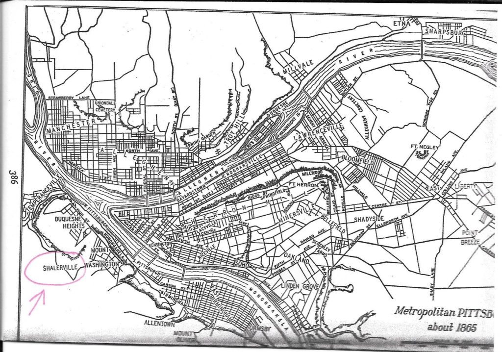
I grew up in Banksville, right next door to Beechview, but had never heard of Shalerville (Shalersville in some sources) until I started my book research. It appears on this 1865 map of metropolitan Pittsburgh, lying at the southwestern foot of Mount Washington. Today it is the site of Seldom-Seen Greenway Park in Beechview. Information is hard to come by, but the community was apparently settled by German immigrants in the 1800s. Even after the trolley line came through southern Beechview in 1902, Shalerville (by then known as Seldom Seen) remained a distinct community, isolated from the housing development occurring on the hills to the south. The residents of Seldom Seen continued to farm, raising chickens and much of their own food.
Seldom Seen was annexed into the City of Pittsburgh in 1924 and became part of the Beechview neighborhood. The last residents moved out of Seldom Seen by the 1960s. In 1985 the area was dedicated as a greenway, and is now a lovely, natural park, embroidered with footpaths. A tunnel under the railroad line serves as an entryway.
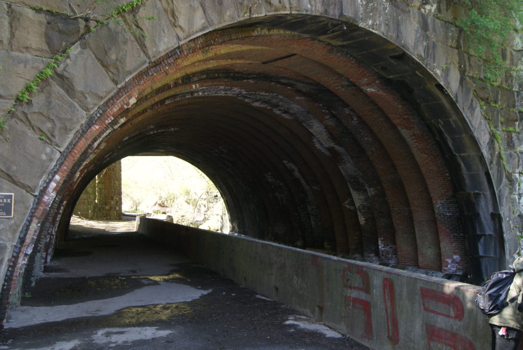
Shalerville today
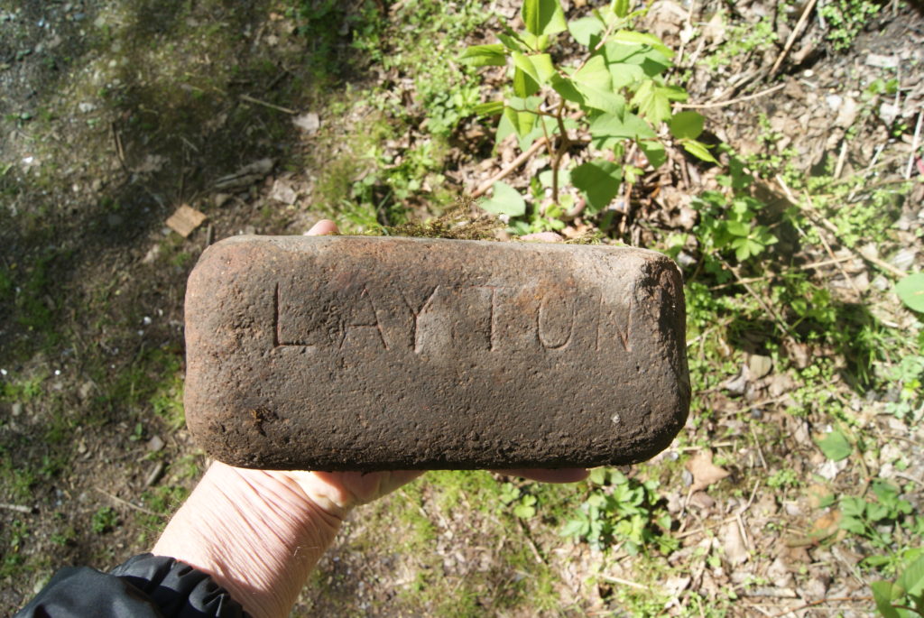
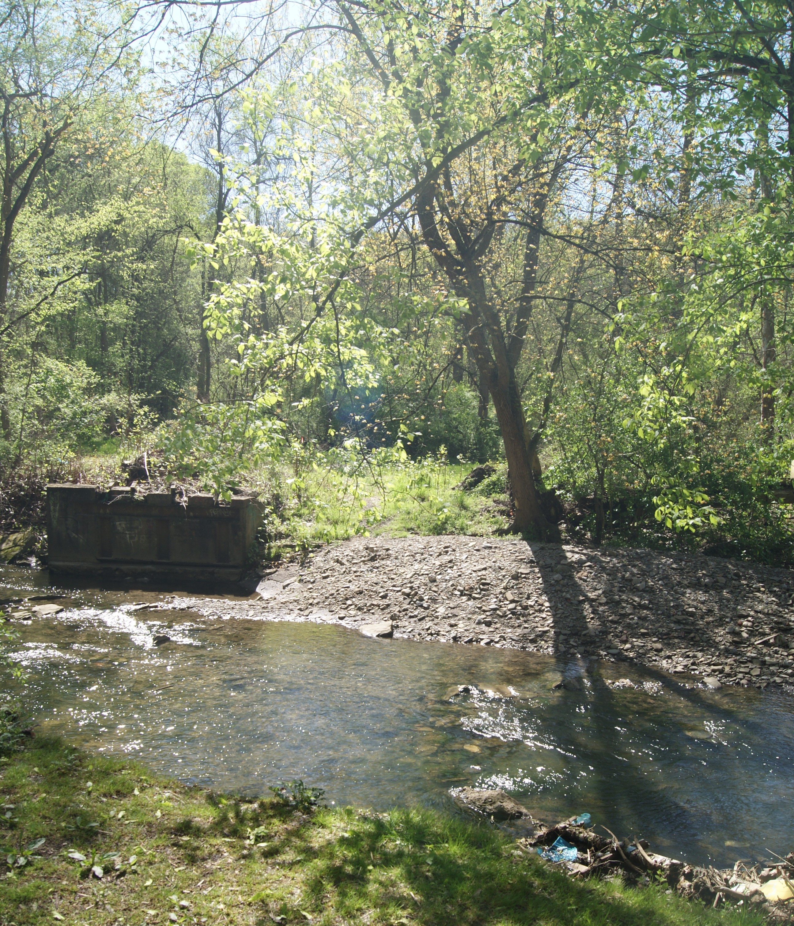
When Al and I took a walk in Seldom Seen Greenway on a cool, sunny, windy April day, we found a few remnants of the little farming community of Shalerville: roof slates, crumbling red bricks, bits of pottery. We hiked to a level spot that looked like a house must have stood there once, and a bank behind it that looked suspiciously like the former site of a bank barn. We found an intact brick with the stamp “LAYTON” on it. When we got home, we looked up Layton Brick Works, and found that the brick must have come from the Layton brick works near McKeesport.
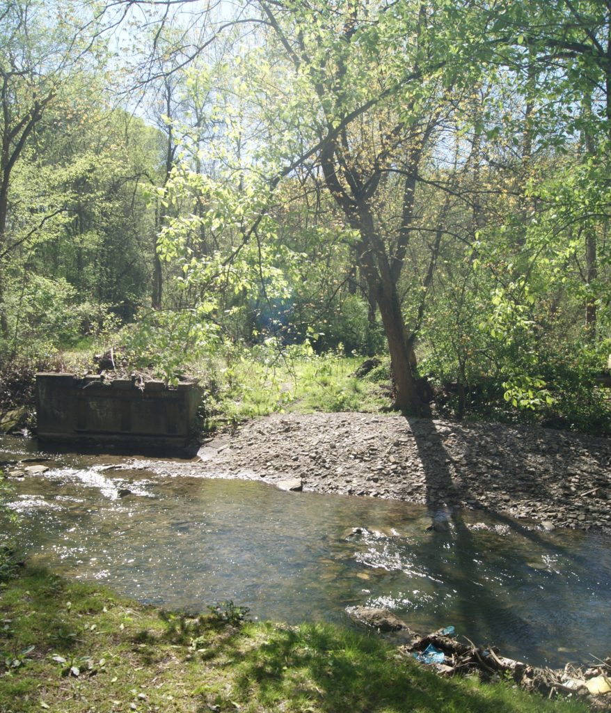
Mostly, though, the site of Shalerville today is a pretty nature area, given over to hardwood trees, moss-covered railroad ties, and wild berry bushes. Woodpeckers were hard at work the day we explored, and a carpet of violets covered the ground. Robins sang and Saw Mill Run gurgled briskly over sandstone and aged red bricks. Little remained of the isolated little farm community, except in our imaginations.
Sources
Pittsburgh: The Story of a City – Leland D. Baldwin, University of Pittsburgh Press, 1937
http://bricknames.com/brick/details/469

Thank you for your post regarding Shalerville, posted last April. I’m doing genealogical research and recently uncovered a death record for my great-great grandmother dated January 1885. The record showed that she had lived for the previous 20 years at a residence on Main Street in Shalersville (spelled with the second “s”). A search of present day maps yielded no clues to the location of this address. Your blog post helped immensely.
My great grandfather and grandfather lived in Seldom Seen. It was also known as Lower Saint Clair. Woodruff Street was Woodstock Street . The name seems to have changed when Route 51 was extended from Liberty Tunnel to West End. That expansion cut off the village from the surrounding community.
This is great. Thank You for sharing