
Saw Mill Run has figured in two of my blog posts about lost Pittsburgh towns. So, Al and I thought it would be interesting to drive the 9-mile length of it and learn a little bit of the history of the towns the live along it.
First, why is it called a “run” and not a “creek” or a “stream”? We have our English and German ancestors to thank for that. The word “run” is related to “ryne” in Old English, “runnen” in Middle Dutch, “irnan” in Old Saxon and “rinner” in Old High German.
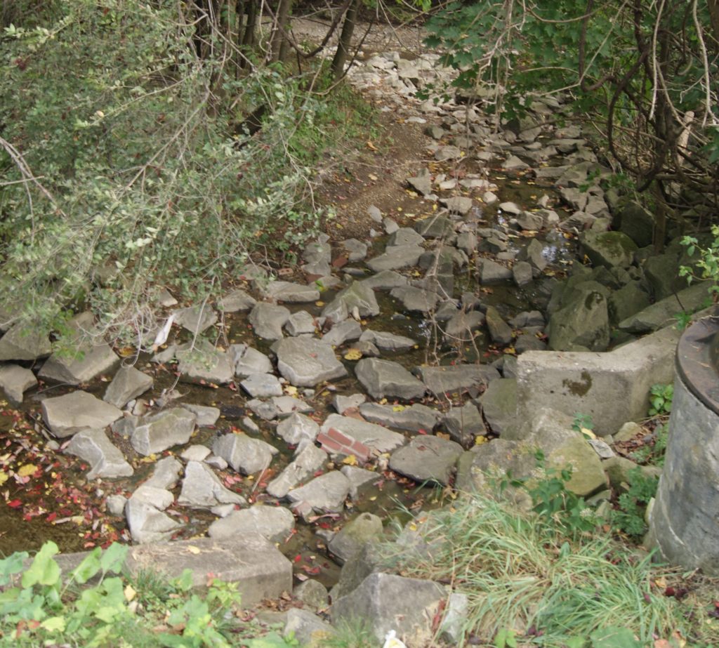
Famously flood-y after a heavy rain, Saw Mill Run was an unprepossessing trickle at the end of a very dry September. In the past, its banks were home to a salt works, coal patch towns and the saw mill that gave it its name.
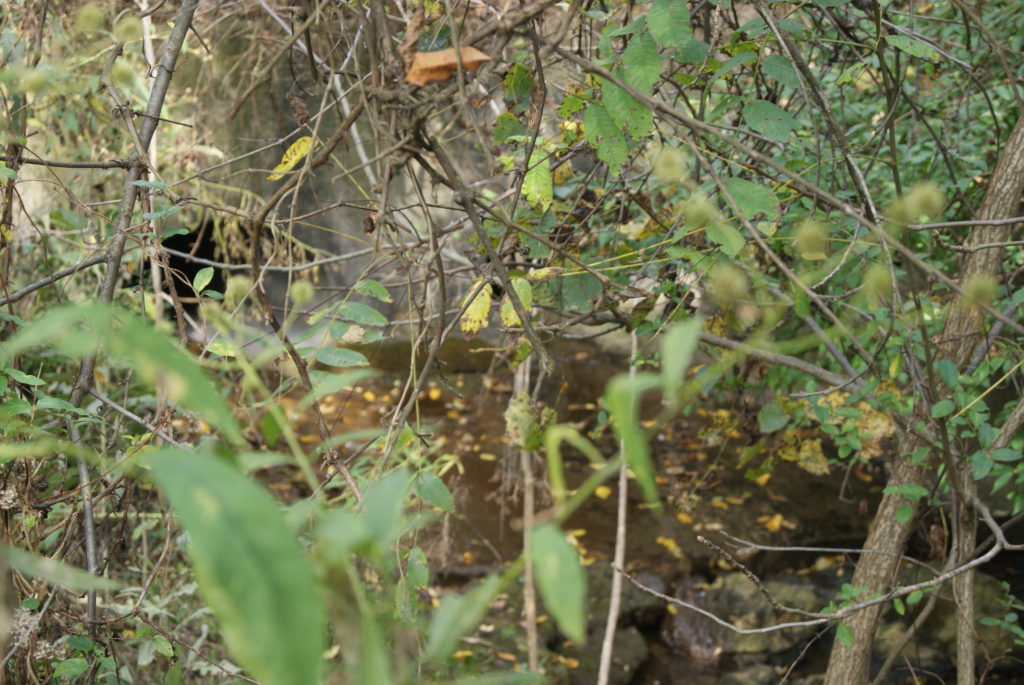
Saw Mill Run in Bethel Park
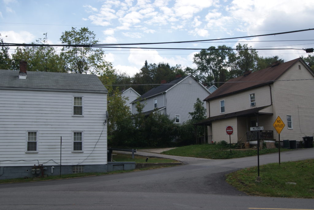
The Run starts in the backyard of a house on Casswell Drive in Bethel Park, but it is culverted for about its first half mile as it passes under backyards on Casswell and Cassidy Drives. It emerges as a visible stream near the Caswell T stop, in a little wood among birdsong, thrashing deer and flitting yellow butterflies. It flows openly along Milford Road for less than a mile, before culverting again at the Washington Junction T station. There, we also saw some houses that dated back to one of the many coal patches that once thrived in the South Hills.
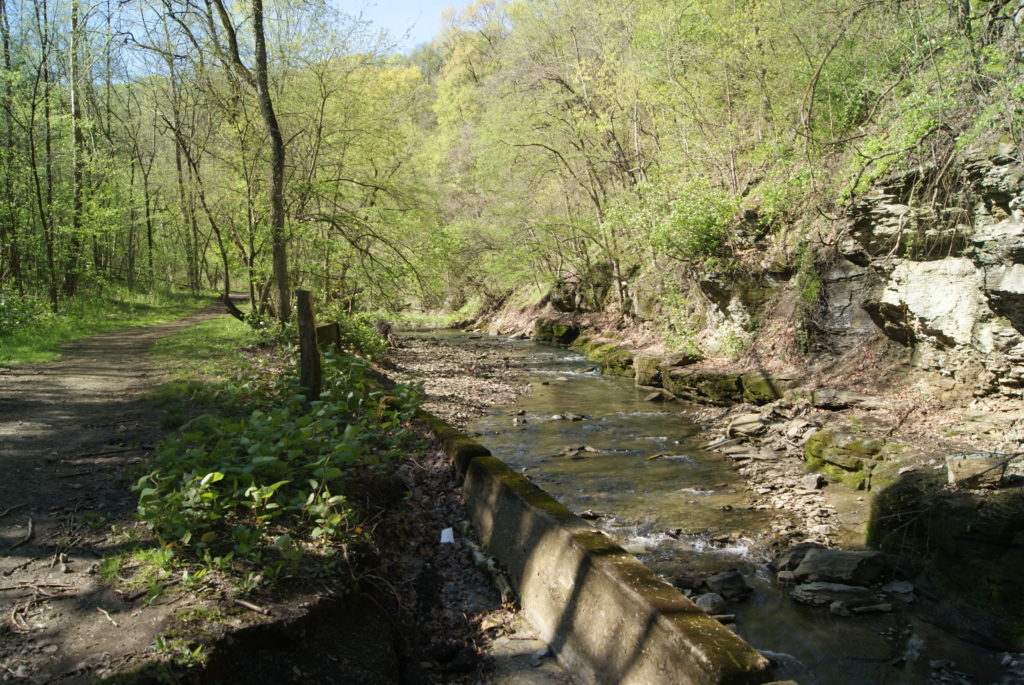
Saw Mill Run in Castle Shannon
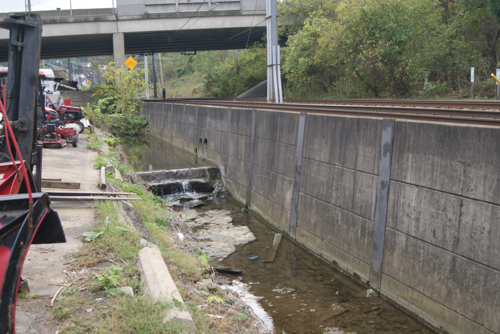
The stream emerges once again just north of Washington Junction, and gurgles obediently through sluices between T tracks and the backyards of Canal Street until it sprawls again near St. Anne’s School.
Culverted under downtown Castle Shannon, the stream again sees daylight starting at the corner of Library Road and Castle Shannon Blvd., near Mindful Brewing and Williams Stained Glass, watched over by a banner honoring a son of Castle Shannon who was killed in Viet Nam in 1969.

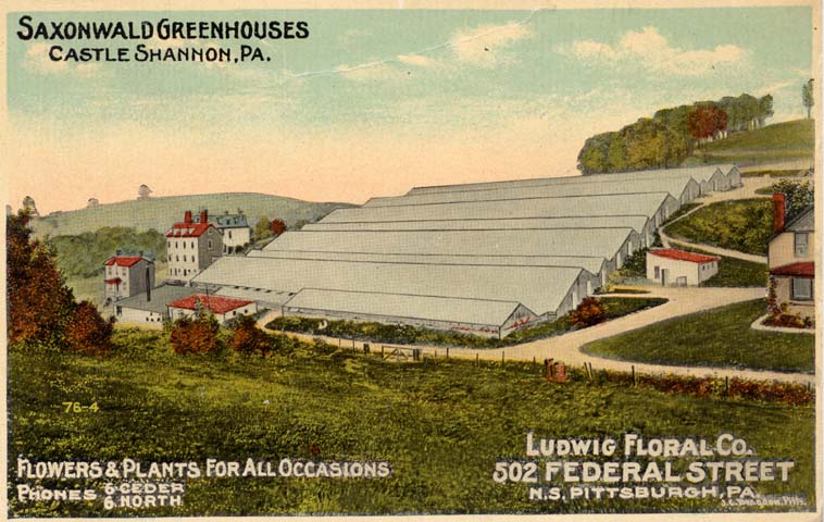
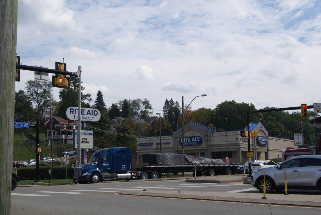
At the corner of Library and Grove Roads, where the Sunoco Station and the St. Vincent De Paul Thrift Store stand today, a large greenhouse business once thrived. It was the second-largest employer in Castle Shannon at one time, second only to the coal mines.
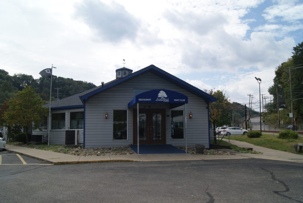
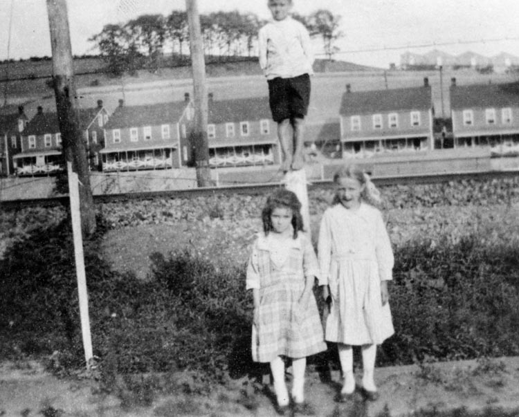
A little further on, the Run trickles past Memorial Hall T Station and historic Linden Grove. I can remember going to dances at the Grove as a teenager, when it stood on stilts above its often-flooded gravel parking lot, and smelled like an old boat house. The Grove dates back to 1872, when the Pittsburgh-Castle Shannon Railroad created it as an “amusement grove” to draw more fares from the city into the suburbs.
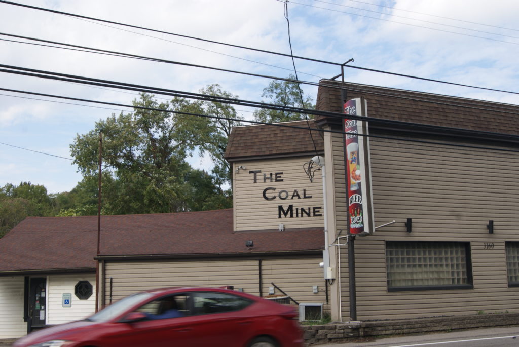
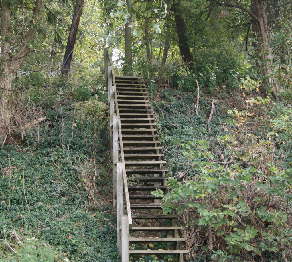
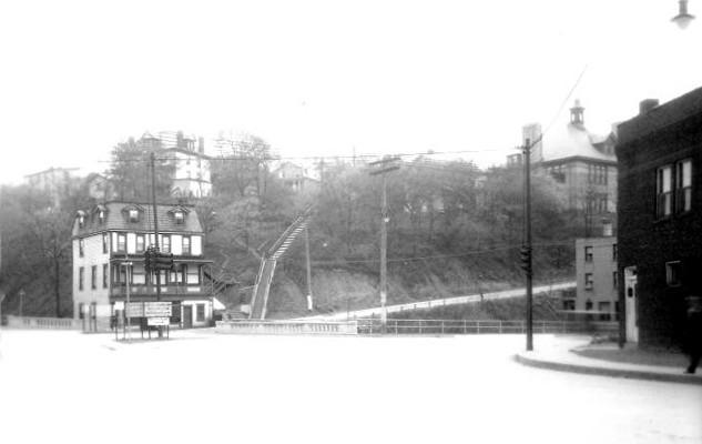
A little further down Library Road all that remains of another coal patch is a bar marking the old entrance to the mine shaft, and the steps that used to lead to miners’ housing on the hillside across the street.
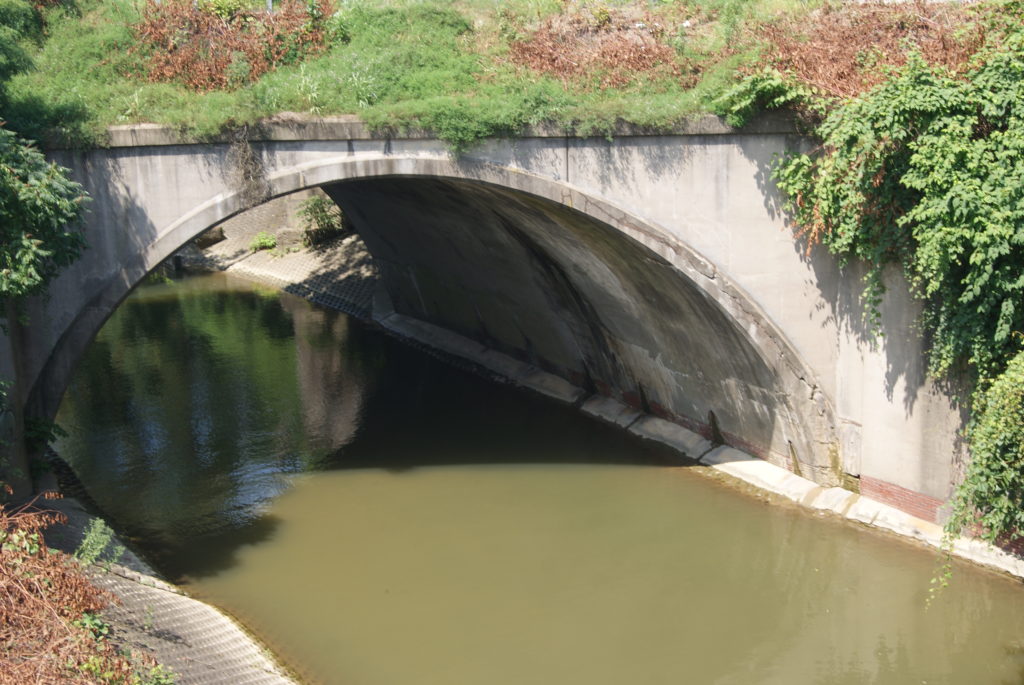
Saw Mill Run many times naughtily overflowed its banks at the intersection of Library Road (Route 88) and Saw Mill Run Blvd. (Route 51), before the state Department of Transportation enlarged the culverts and improved the interchange several years ago.
Saw Mill Run in Brookline, Overbrook and Bon Air
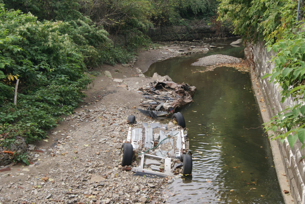
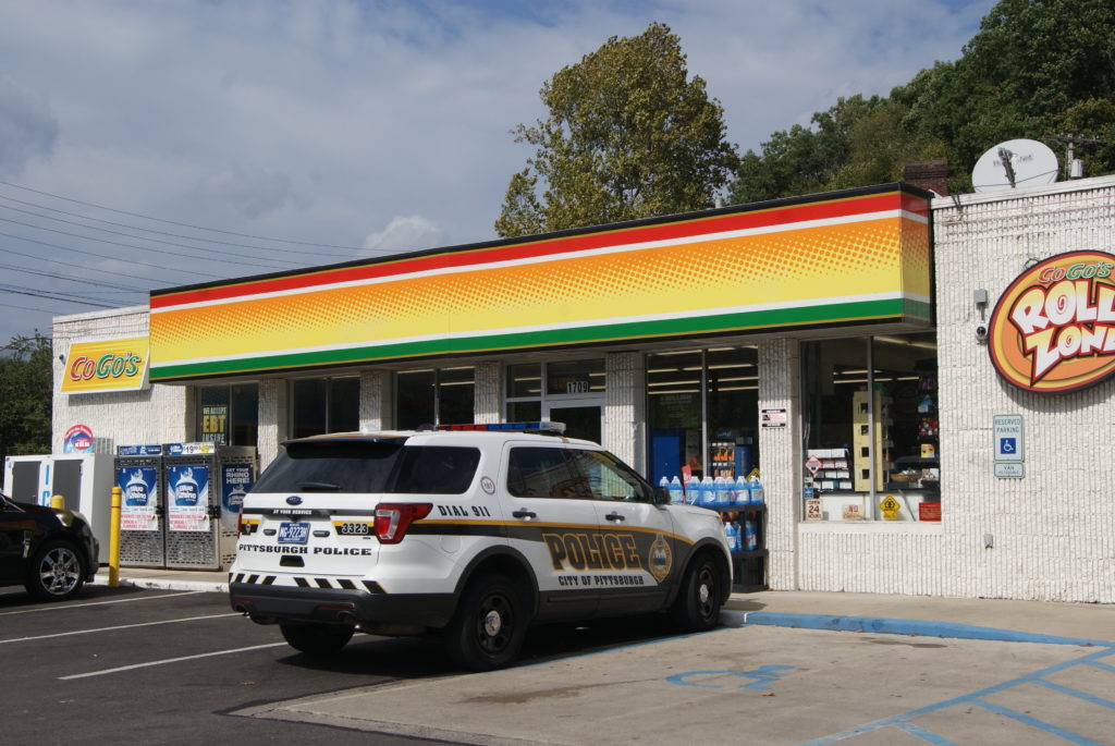
I wish I could say that our drive was a pleasant one, but if Library Road is a featureless show of strip malls, the scenery gets even uglier when the Run makes its bend onto Saw Mill Run Blvd. The Run’s namesake road is a miserable slog of decrepit houses, one used-car lot and car-parts store after another, other dispirited-looking small businesses, and traffic as clogged as the arteries of some cranky old man who’s been eating nothing but cheeseburgers for 40 years. In the span of 20 minutes, we witnessed a truck accident at the Co Go’s and an altercation in the parking lot of the Red White and Blue Thrift Store, and got caught in chaotic quitting-time traffic coming out of the Advance Sign factory. Oh, and you don’t see a car carcass in just any stream.
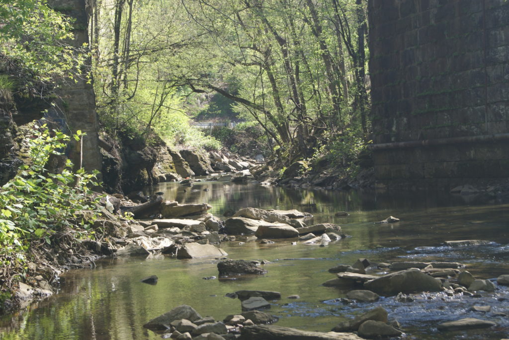
Saw Mill Run in Beechview
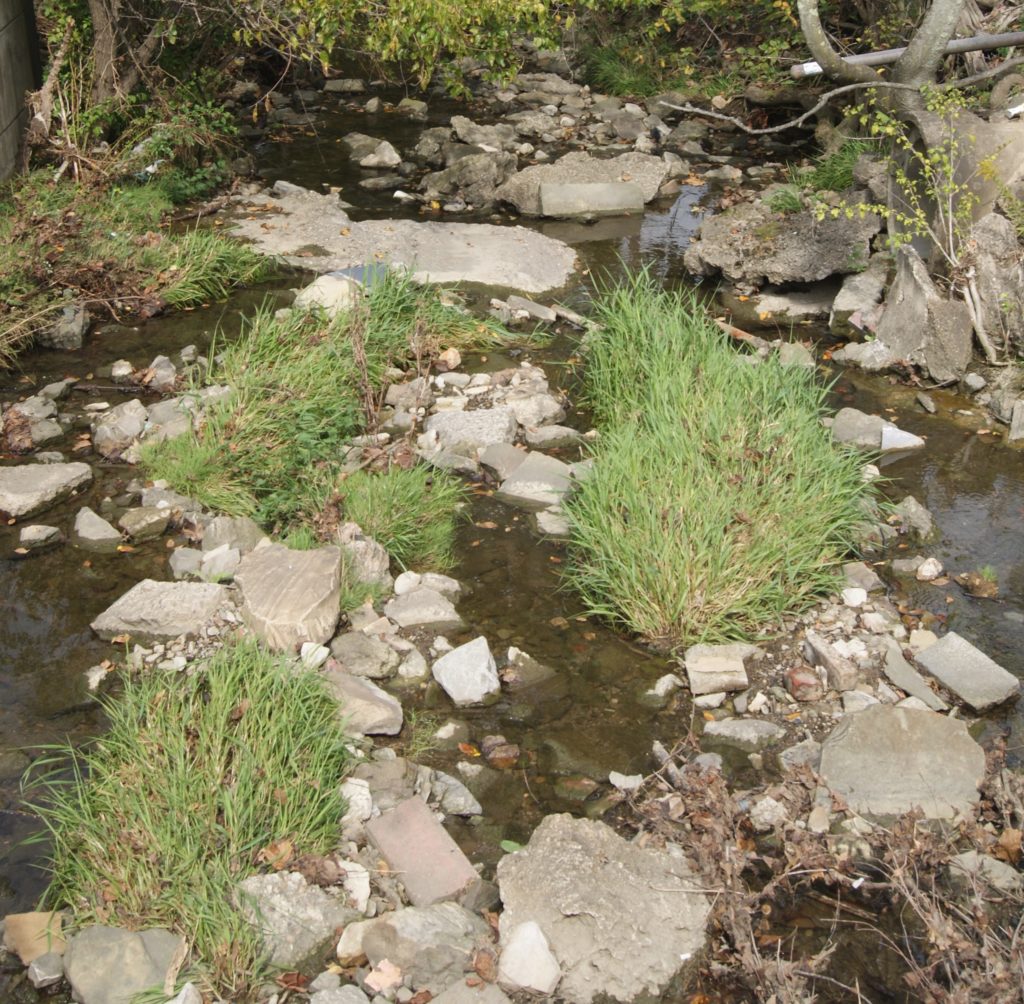
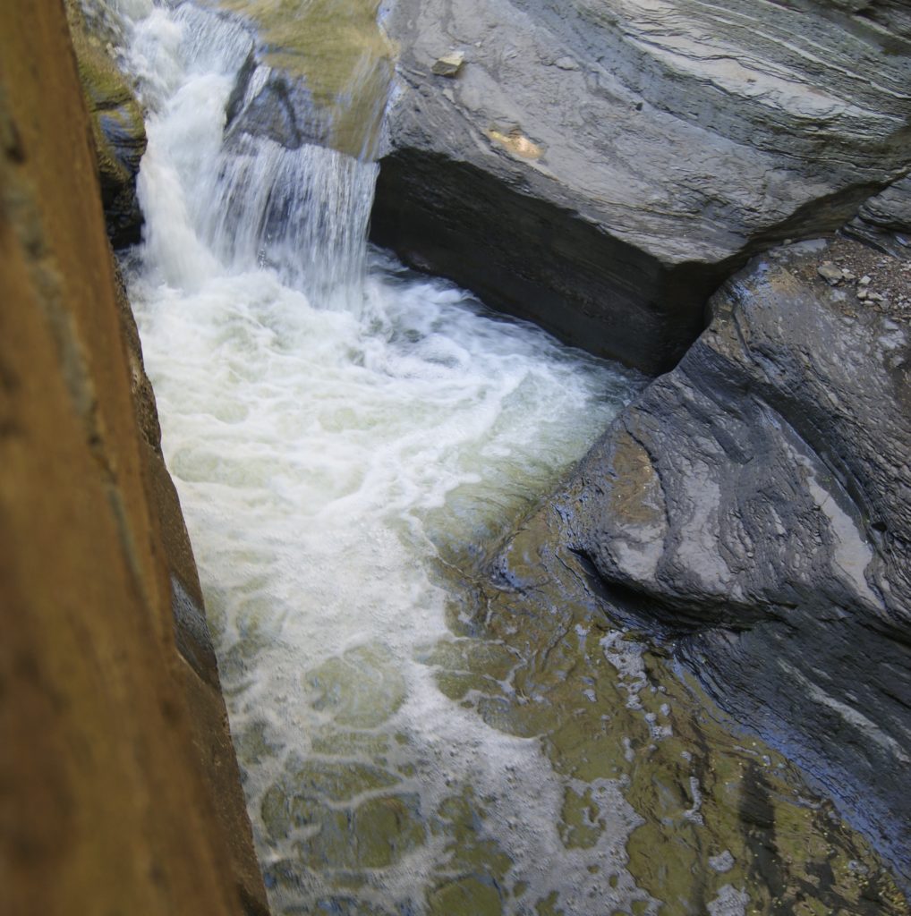
Seldom Seen Greenway seems like an oasis after the hell of Saw Mill Run Blvd between Library Road and Woodruff St. Here, the Run trickles merrily through a lovely wood right in the middle of the city. See my blog entry from April 28 on Seldom Seen (formerly Shalerville) for more details about this pretty greenway. Here are a few pictures of the Run in its much more natural habitat.
Saw Mill Run in Banksville and West End
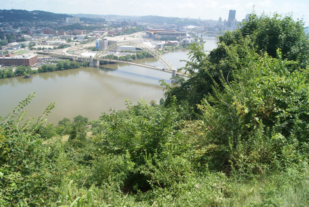
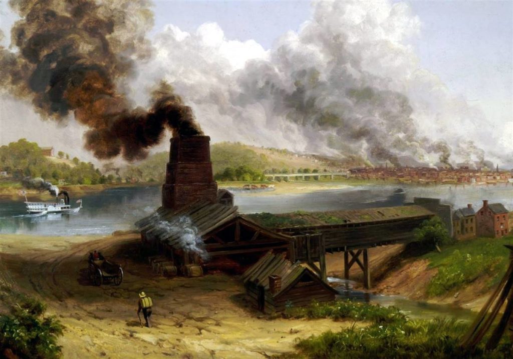
From Seldom Seen, the Run passes under the Rt 51/376/19 interchange and emerges into West End, another place where it has caused all kinds of trouble in the past. Al and I spent a very nice day exploring the West End (formerly Temperanceville) earlier this summer (see this blog entry). We walked the length of the Run in the West End, all the way to where it culverts under West Carson Street and the railroad tracks. Where it spills into the Ohio River, near the West End Bridge, is where the saw mill that give it is name once stood. That saw mill almost certainly supplied the lumber for Fort Pitt. Later, in the early 19th century, a salt works stood there.
I’ve spent my whole life living within a couple of miles of this humble little stream that has seen so much history and been so abused. Now that I’ve seen every inch of its 9 miles that is viewable, I feel kind of protective!
SOURCES
https://www.wesa.fm/post/why-are-there-so-many-run-roads-pittsburgh-region#stream/0
http://www.brooklineconnection.com/history/Facts/SawMillRun.html
http://www.brooklineconnection.com/history/Facebook/SawMillRun.html
Here’s a Rick Sebak show about Route 88 that tells a little more about the history of part of the Saw Mill Run watershed. We’ve seen the play about the armored car heist in Bethel Park in 1927; it was really good: https://www.youtube.com/watch?v=94jJNLXyNgg